Napton Reservoir
0.9 miles (1.5 km)
![]()
![]() This walk visits Napton Reservoir near the village of Napton on the Hill in Warwickshire. The lake is a good place for fishing and an easy stroll.
This walk visits Napton Reservoir near the village of Napton on the Hill in Warwickshire. The lake is a good place for fishing and an easy stroll.
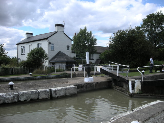
There's a car park on the western side of the water where you can pick up footpaths running along the lake. Follow the paths north and they will take you to Calcutt Marina and lock on the Grand Union Canal.
You can extend your walk by heading south and picking up the Oxford Canal Walk.
Postcode
CV47 8HX - Please note: Postcode may be approximate for some rural locationsNapton Reservoir Ordnance Survey Map  - view and print off detailed OS map
Napton Reservoir Open Street Map  - view and print off detailed map
Napton Reservoir OS Map  - Mobile GPS OS Map with Location tracking
Napton Reservoir Open Street Map  - Mobile GPS Map with Location tracking
Further Information and Other Local Ideas
For more walking ideas in the area see the Warwickshire Walks page.


