Narberth Walks - Near and Around
![]()
![]() This delightful market town in Pembrokeshire includes an attractive High Street with many Edwardian and Georgian buildings to admire.
This delightful market town in Pembrokeshire includes an attractive High Street with many Edwardian and Georgian buildings to admire.
There's also the historic ruins of Narberth Castle which dates back to the 13th century.
For walkers there's two long distance waymarked footpaths and some peaceful local woodland to enjoy.
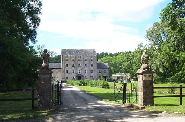
This circular walk from the town uses sections of the Knight's Way and the South of the Landsker Trail to explore the surrounding countryside and woodland. On the way you'll visit Canaston Woods, the 19th century Blackpool Mill, Minwear Wood and Naberth Mountain.
The route runs for about 14 miles with some moderate hill climbs. There's some splendid views over the area from the high points and a nice waterside stretch along the River Cleddau to enjoy on the way.
For cyclists there's some good mountain bike trails through Canaston Woods to try.
Postcode
SA67 7AS - Please note: Postcode may be approximate for some rural locationsNarberth Ordnance Survey Map  - view and print off detailed OS map
Narberth Open Street Map  - view and print off detailed map
*New* - Walks and Cycle Routes Near Me Map - Waymarked Routes and Mountain Bike Trails>>
Narberth OS Map  - Mobile GPS OS Map with Location tracking
Narberth Open Street Map  - Mobile GPS Map with Location tracking
Walks near Narberth
- South of the Landsker Trail - This circular walk explores the Pembrokeshire Coast National Park around Pembroke
- Tenby to Lydstep - A popular walk along a section of the Pembrokeshire Coast Path from Tenby to Lydstep Point
- Tenby to Saundersfoot Walk - A popular walk along the Pembrokeshire Coast Path from Tenby to the neighbouring village of Saundersfoot
- Blackpool Mill - This circular walk visits the 19th century Blackpool Mill in the Pembrokeshire Coast National Park.
- Picton Castle Gardens - Explore the stunning gardens surrounding this 13th century stately home in Pembrokeshire
- Slebech Park - This 600 acre estate is covered with miles of footpaths making it an excellent location for walkers
- Canaston Woods - Enjoy a walk or cycle around these pretty woodlands in Pembrokeshire
- Manorbier Castle - This Norman castle near Tenby is well worth a visit
- Manorbier to Freshwater East Walk - This walk follows a lovely section of the Pembrokeshire Coast Path from Manorbier to the village of Freshwater East.
- Saundersfoot - This delightful village sits in a lovely spot on the Pembrokeshire Coast
Pubs/Cafes
The Angel is a nice place for some post walk refreshments. The 18th century coaching inn includes a cosy interior with real fires. Outside there's a sunny beer garden for warmer days. You can find them at 43 High St, SA67 7AS.
Dog Walking
The woods and country trails make for a fine dog walk. The Angel mentioned above is dog friendly in the garden area.
Further Information and Other Local Ideas
If you were to follow the Landsker Trail south it would take you to Templeton, Kilgetty and Saundersfoot on the beautiful Pembrokeshire Coast. Here you could pick up the popular Tenby to Saundersfoot Walk and the Tenby to Lydstep Walk.
For more walking ideas in the area see the Pembrokeshire Coast Walks page.
Photos
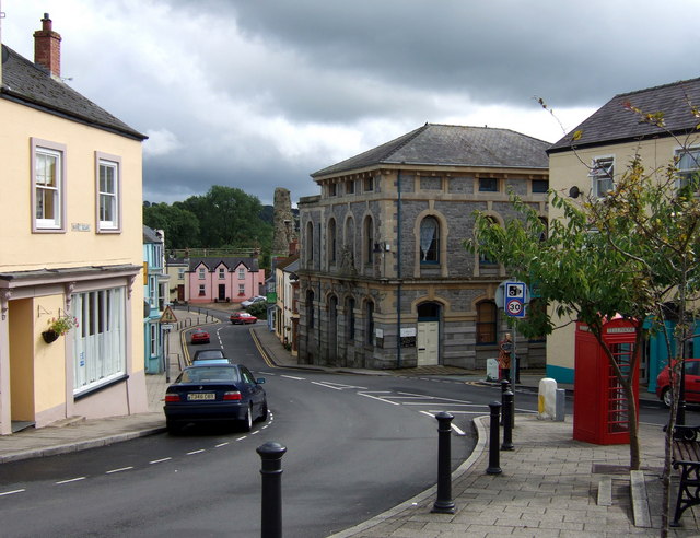
Narberth castle from Market square. Looking down Market Street, past the old court house on the right, the eastern part of the castle is visible. Norman, dating from C13, it was burnt/destroyed by the Welsh, and rebuilt, several times before C14. It was inhabited until 1677. Opened to public access in recent years.
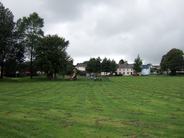
Narberth Town Moor. A lovely open space at the top of the town where all sorts of community activities take place including an annual food festival.
Tabernacle Lane and chapel. The lane runs off the southwest end of James Street. The chapel is United Reformed, an 1858 replacement of a simpler chapel which was once the ministry of Caleb Morris (1800-1865) a celebrated preacher. From the Welsh DNB: "In 1822 he received a call to Narberth, Pembs., he was ordained there 2 April 1823. Morris moved to Fetter Lane, London, in 1827... Large crowds flocked to Fetter Lane to hear him. Owing to periods of physical weakness he was in the habit of returning to Wales to seek a renewal of his strength. He also sought for health in Switzerland and Germany but had to relinquish the care of his church and retire to Pembrokeshire... He possessed unusual gifts as a preacher and delighted in spiritual meditation. In spite of physical weakness he became one of the leading lights of the London pulpit." In September 1829 a man was sentenced at the Old Bailey to 7 years transportation for stealing Caleb Morris's hat from the vestry at Fetter Lane,
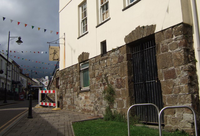
"Rebecca's cell" at Narberth. In the 1830s and 40s local people in West Wales took the law into their own hands in protest against English-imposed tolls, taxes and repressive legislation. They disguised themselves in women's clothes and operated under the name of Rebecca. I do not know if there is evidence that any of the 'Rebeccas' occupied this lock-up under the town hall but the freedom fighters were active in Narberth, attacking the workhouse and the tollgate, so it is very possible that they did.


