Netherton Tunnel
![]()
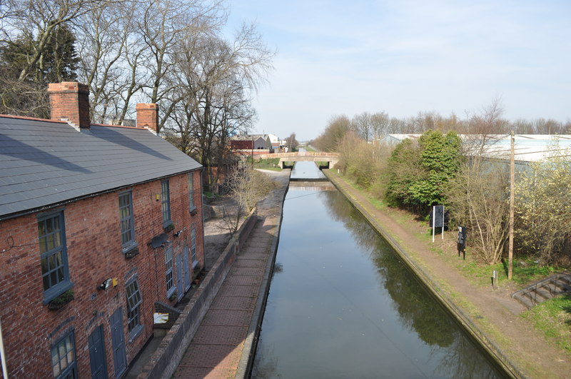
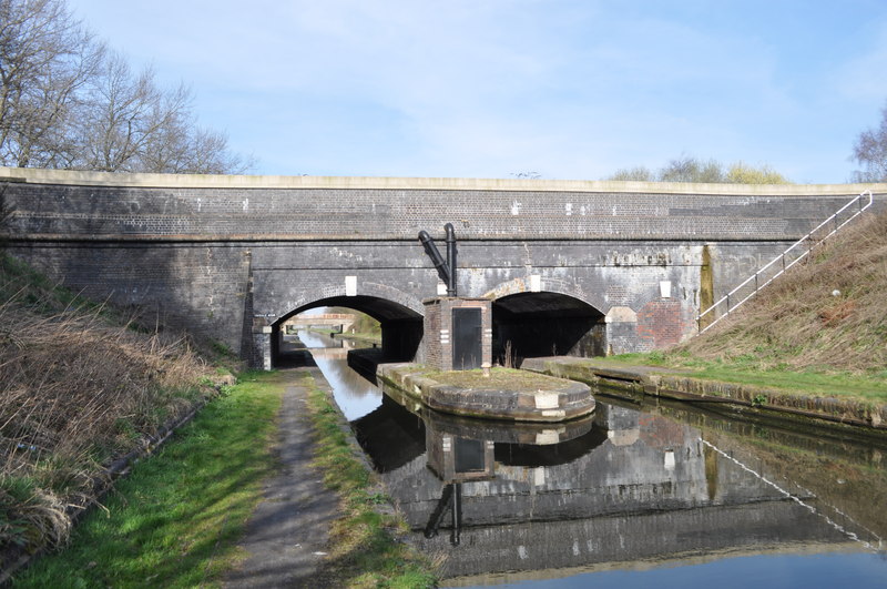
![]() This walk explores the Victorian Netherton Tunnel Canal in Birmingham.
This walk explores the Victorian Netherton Tunnel Canal in Birmingham.
The walk starts on the junction of the Birmingham Canal and Netherton Tunnel Canal at Dudley Port. It's just half a mile south east of Dudley Port train station. From here you can head south west along the canal to the northern end of the tunnel. You can walk through the tunnel to the southern end in the Warren Hill Nature Reserve but it's pitch black and you will need a torch to see. It's just over 2 miles to the other end. See the video below for more details.
The tunnnel is notable as the last canal tunnel to be built in Britain during the Canal Age. It opened in 1858, providing a waterway connection between the Black Country towns of Netherton and Tipton.
To extend the walk try the Dudley Canal Walk which starts in the Warren Hill Nature Reserve at the southern end of the tunnel.
Netherton Tunnel Ordnance Survey Map  - view and print off detailed OS map
Netherton Tunnel Open Street Map  - view and print off detailed map
Netherton Tunnel OS Map  - Mobile GPS OS Map with Location tracking
Netherton Tunnel Open Street Map  - Mobile GPS Map with Location tracking
Further Information and Other Local Ideas
Head a few miles south west and you can enjoy more waterside walking around Netherton Reservoir. The wildlife rich Saltwells Nature Reserve is also in this area.
For more walking ideas in the area see the West Midlands Walks page.


