Osterley Park
![]()
![]() A walk around the 350 acres of parkland at Osterley House in Hounslow West London. The country estate is one of the largest open spaces in west London and has miles of nice footpaths to try. In the park you'll find farmland, cattle, lakes and gardens with herbaceous borders, roses and ornamental vegetables beds. The site also includes family cycle trails so it's a great place for outdoor exercise and just a short hop from central London.
A walk around the 350 acres of parkland at Osterley House in Hounslow West London. The country estate is one of the largest open spaces in west London and has miles of nice footpaths to try. In the park you'll find farmland, cattle, lakes and gardens with herbaceous borders, roses and ornamental vegetables beds. The site also includes family cycle trails so it's a great place for outdoor exercise and just a short hop from central London.
The Grand Union Canal passes the park on the eastern and northern sides. You can pick up the towpath to extend your exercise. Heading south will take you towards Brentford and Syon Park where there are more good walking trails.
Please click here for more information
Osterley Park Ordnance Survey Map  - view and print off detailed OS map
Osterley Park Open Street Map  - view and print off detailed map
Osterley Park OS Map  - Mobile GPS OS Map with Location tracking
Osterley Park Open Street Map  - Mobile GPS Map with Location tracking
Pubs/Cafes
The on site Stables Café is a nice place to refresh yourself after your exercise. They have a good range of meals, snacks and cakes with seating indoors and out.
Dog Walking
The park is an excellent place to bring your dog for a walk. There are open long grassy areas where they can run around off lead. Please keep them on leads in the short grass areas and on the main paths by the House and Stables Courtyard though. The Stables Café mentioned above is also dog friendly.
Further Information and Other Local Ideas
You can reach the park by public transport on the London Underground. Osterley station is on the Heathrow branch of the Piccadilly line, between Boston Manor and Hounslow East. It is in Travelcard Zone 4 and located a short walk south of the park.
Head a short distance north of the park and you'll soon come to the confluence of the Grand Union Canal and the River Brent. Here you can pick up the Brent River Park Walk and follow the riverside trail through Ealing to Perivale. There's some nice riverside parks and a series of weirs on the way.
In leafy Ealing there's nice trails around Ealing Common and the historic Walpole Park.
For more walking ideas in the area see the London Walks page.
Cycle Routes and Walking Routes Nearby
Photos
Dog walking area, Osterley Park. This is an area of open grassland in front of Osterley House. Dog walking is allowed in this area, which extends along the lake and almost up to the M4 motorway.
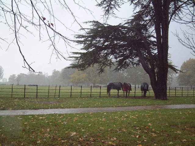
Avenue from Osterley House to Osterley Station. When Osterley Station was opened the main drive to the house was moved to run straight between the house and station. This view shows the footpath beside the drive, running through an avenue of trees. The one nearest on the right is a cedar; there are many fine large cedars around the house.
Ducks on the lake, Osterley House. View from the main drive to the house. This section of the lake is East and South of the house.


