Otford Circular Walk
![]()
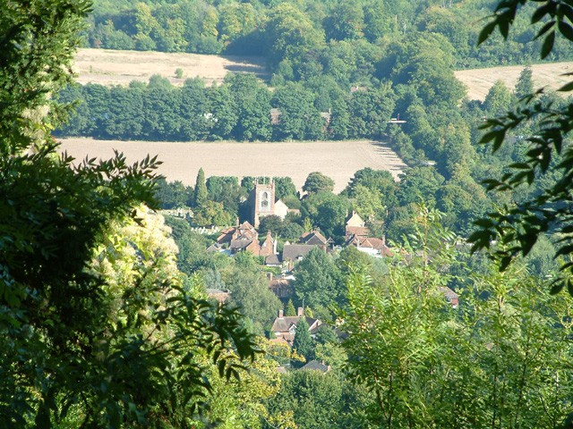
![]() A popular circular walk from the Kent village of Otford, visiting the River Darent, Shoreham, Great Wood and the Otford Mount viewpoint. The route runs for about 7 miles with some moderate hill climbs on the way. From the high points there are fine views over the countryside of the lovely Darent Valley.
A popular circular walk from the Kent village of Otford, visiting the River Darent, Shoreham, Great Wood and the Otford Mount viewpoint. The route runs for about 7 miles with some moderate hill climbs on the way. From the high points there are fine views over the countryside of the lovely Darent Valley.
The walk starts from Otford train station which is easily accessible from London Victoria. The journey takes a little over half an hour and there's 2 trains an hour.
From the station head west and you will soon come to the River Darent. Here you can pick up the waymarked Darent Valley Path and follow it north to Shoreham, passing the golf course on the way.
After exploring Shoreham the route turns south east, taking you to Dunstall Farm and Magpie Bottom. At Eastdown you turn south to follow woodland trails through Great Wood. At the southern end of the woods you join with the North Downs Way, following the waymarked path west through Hilydeal Wood to Otford Mount. There's some fine views over the North Downs from the elevated position of the Mount.
After desceding the hill the trail soon returns you to the train station where the route finishes. In the village you can also pay a visit to the ruins of the 15th century Otford Palace. The principal surviving remains are the North-West Tower, the lower gallery, now converted to cottages, and a part of the Great Gatehouse. It's located just a short hop south west of the train station.
Otford Circular Walk Ordnance Survey Map  - view and print off detailed OS map
Otford Circular Walk Open Street Map  - view and print off detailed map
*New* - Walks and Cycle Routes Near Me Map - Waymarked Routes and Mountain Bike Trails>>
Otford Circular Walk OS Map  - Mobile GPS OS Map with Location tracking
Otford Circular Walk Open Street Map  - Mobile GPS Map with Location tracking
Pubs/Cafes
The Rising Sun in Otford is a good place to stop for refreshments on the walk. They have a fantastic garden area with fine views over the North Downs countryside. It's a great spot to relax in on fine summer days. You can find the pub just to the west of the village on Twitton Lane with a postcode of TN14 5JS for your sat navs.
Dog Walking
The countryside and woods surrounding the village make for an excellent dog walk. The Rising Sun pub mentioned above is also dog friendly.
Further Information and Other Local Ideas
Just to the north of Shoreham you'll find Lullingstone Country Park. You could extend the walk by continuing along the Darent Valley Path to visit the 460 acre park which includes the 15th Century Lullingstone Castle and a large collection of ancient trees.
Head west and you can pick up the Knockholt Circular Walk and explore the North Downs around the elevated village. The route passes close to the attractive Chevening Hall and provides fine views over the area from the high points.
To the east there's neighbouring Kemsing where you can explore the Kemsing Downs Nature Reserve. It's a lovely place for a walk with ancient woodland, bluebells, wildlife and more tremendous views from its elevated location.
For more walking ideas in the area see the North Downs Walks page.
Cycle Routes and Walking Routes Nearby
Photos
North Downs Way up to Otford Mount. The long distance path climbs this steep path from the Pilgrims Way road in Otford.


