Grindleford Padley Gorge Trail
![]()
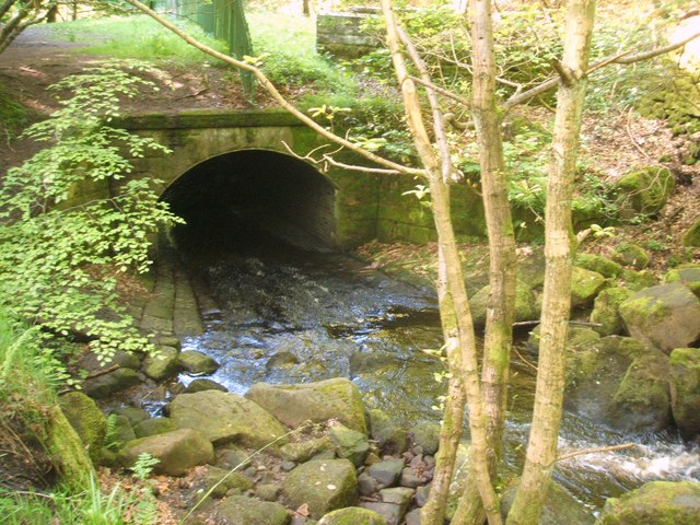
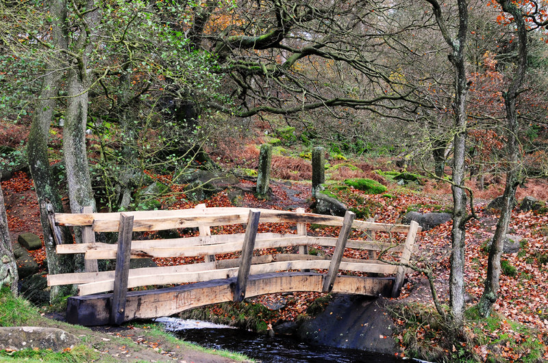
![]() Follow the Padley Gorge Trail through the stunning Hope Valley in the Peak District. The hugely popular walking trail runs along the lovely Burbage Brook with its pretty waterfalls, rocky boulders and wooden bridges.
Follow the Padley Gorge Trail through the stunning Hope Valley in the Peak District. The hugely popular walking trail runs along the lovely Burbage Brook with its pretty waterfalls, rocky boulders and wooden bridges.
You start off at Grindleford Station which you can reach direct from Manchester or Sheffield. The trail is signposted so you can pick it up quite easily. It runs for about 1.5 miles through Yarncliff Wood and then into more open countryside. You can return the same way or head into the beautiful Longshaw Estate to extend your walk.
It's a great area for wildlife spotting. Look out for dippers, pied flycatchers, wood warblers and redstarts. The woods at Yarncliff are also a designated Site of Special Scientific Interest (SSSI), and described as 'the best example of the remnant oak-birch woodland that once covered much of the edges of the gritstone uplands of the Peak District'. There's plenty of nice spots for a picnic next to the babbling brook and its pretty rockpools. You can also find refreshment at the excellent Grindleford Station Cafe, near the start of the route.
The gorge is close to the village of Hathersage so you could start your walk from there if you prefer.
You're also close to Stanage Edge where you can enjoy fabulous views and interesting rock formations. For a longer walk you could try our Padley Gorge Circular Walk which passes the Fox House Inn and the Longshaw visitor centre.
Postcode
S32 2HY - Please note: Postcode may be approximate for some rural locationsPadley Gorge Trail Ordnance Survey Map  - view and print off detailed OS map
Padley Gorge Trail Open Street Map  - view and print off detailed map
*New* - Walks and Cycle Routes Near Me Map - Waymarked Routes and Mountain Bike Trails>>
Padley Gorge Trail OS Map  - Mobile GPS OS Map with Location tracking
Padley Gorge Trail Open Street Map  - Mobile GPS Map with Location tracking
Pubs/Cafes
After your walk head to the Fox House Inn located just to the south east of Burbage Bridge (Postcode:S11 7TY). The rustic country pub/restaurant includes a comfort food menu and exposed beams.
In Grindleford there's The Sir William Hotel, housed in a fine 18th century stone building. They have a decent bar menu and a beautiful terraced garden over-looking the Derwent river valley. If the weather is fine it's a great place to enjoy a drink and a bite to eat. You can find it in the village on Sir William Hill Road with a postcode of S32 2HS for your sat navs.
Dog Walking
The National Trust welcomes dogs on leads throughout the Longshaw Estate.
Further Information and Other Local Ideas
Our Grindleford Walk also starts from the station and visits the ancient Padley Chapel, the River Derwent, Curbar Edge and Froggatt Edge. These hills are located to the south of the station and provide more fine views of the area.
Cycle Routes and Walking Routes Nearby
Photos
Moss covered rocks. Look out for wildlife including pied flycatcher, wood warbler and hawfinch as you make your way through the area.


