Pembury Woods Circular Walk
![]()
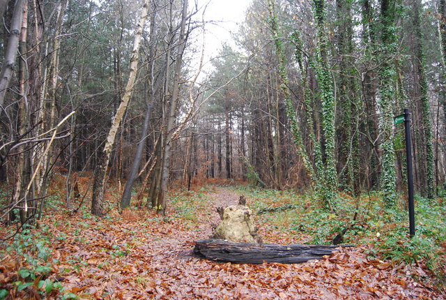
![]() This circular walk around Pembury takes you through some of the woodland to the north of the village before picking up a waymarked trail to explore the countryside. The fairly easy route runs for just over 5 miles, visiting farmland, orchards, peaceful woods and a nice farm shop on the way.
This circular walk around Pembury takes you through some of the woodland to the north of the village before picking up a waymarked trail to explore the countryside. The fairly easy route runs for just over 5 miles, visiting farmland, orchards, peaceful woods and a nice farm shop on the way.
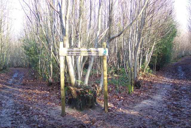
The route starts in the village and heads north to Marshleyharbour Wood and Forest Wood before picking up the Tunbridge Wells Circular Walk at Downingbury. This waymarked footpath takes you south through Snipe Wood to Romford and Henwood Green. You'll then pass through the farmland to the south of Pembury before turning north to return to the village.
To continue your walking in the area you could head to the nearby Tunbridge Wells Common or pick up the long distance High Weald Landscape Trail to further explore the lovely High Weald AONB.
Also nearby is the splendid Dunorlan Park where you'll find wide lawns, waterside paths along the large lake, attractive woodland and a Grecian Temple containing the Dancing Girl Statue.
Pembury Ordnance Survey Map  - view and print off detailed OS map
Pembury Open Street Map  - view and print off detailed map
Pembury OS Map  - Mobile GPS OS Map with Location tracking
Pembury Open Street Map  - Mobile GPS Map with Location tracking
Walks near Pembury
- Dunorlan Park - This large park in Royal Tunbridge Wells covers nearly 80 acres with some nice walking trails to try
- Tunbridge Wells Circular Walk - Explore the beautiful countryside around Royal Tunbridge Wells on this circular walk through the High Weald AONB
- Tunbridge Wells Common - Explore this large green space on this pleasant walk in Tunbridge Wells
- High Weald Landscape Trail - Explore the High Weald AONB on this fabulous 90 mile walk that links the ridge-top villages and historic gardens for which the area is famous
- Goudhurst - This pretty Kent based village is located in a fine spot in the Weald
- Tonbridge - This long circular walk explores the parks, woods, commons, rivers and countryside surrounding the market town of Tonbridge in Kent
- Tudeley Woods - This walk explores the Tudeley Woods RSPB Nature Reserve, near the village of Tudeley in Kent.
- Southborough Common - Enjoy woodland trails, heathland and pretty streams in this area of common land near Tunbridge Wells and Tonbridge
- Speldhurst - This Kent village is located just north west of Tunbridge Wells
Further Information and Other Local Ideas
Head north on the Tunbridge Wells Circular Walk and you will soon come to Tudeley Woods. This RSPB Nature Reserve has some attractive ancient woodland with a large variety of flora and fauna to see.
For more walking ideas in the area see the High Weald Walks page.
Photos
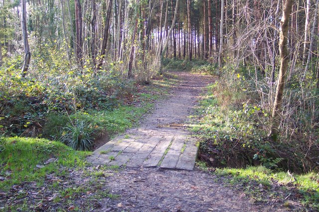
Footbridge near Marshleyharbour Wood. This bridge is on a path from Rowley Hill Road past the wood (on the right) and Lower Green (unseen on the left), heading to the A228 Maidstone Road.


