Penclawdd Walks
![]()
![]() This Welsh village is located on the north of the Gower Peninsula. The area is great for walking with coastal paths along the Loughor Estuary where you can look out for a wide variety of wading birds.
This Welsh village is located on the north of the Gower Peninsula. The area is great for walking with coastal paths along the Loughor Estuary where you can look out for a wide variety of wading birds.
The village is famous for its centuries old cockle industry with the cockles sold all over the world.
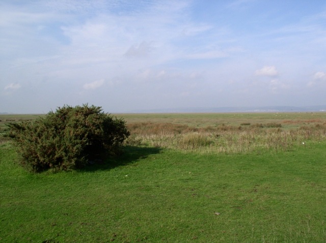
This walk takes you along a section of the Wales Coast Path to Llanrhidian. On the way there's fine views of the Loughor estuary and the Llanrhidian Marsh. You'll pass Dalton's Point and the village of Crofty which lie just to the west of the settlement. Here you can enjoy fine views from Saltmarsh Point.
Postcode
SA4 3XT - Please note: Postcode may be approximate for some rural locationsPenclawdd Ordnance Survey Map  - view and print off detailed OS map
Penclawdd Open Street Map  - view and print off detailed map
*New* - Walks and Cycle Routes Near Me Map - Waymarked Routes and Mountain Bike Trails>>
Penclawdd OS Map  - Mobile GPS OS Map with Location tracking
Penclawdd Open Street Map  - Mobile GPS Map with Location tracking
Walks near Penclawdd
- Llanrhidian - This North Gower based village has some nice trails along the marshland and Loughor estuary.
- Llanmadoc - This walk from the village of Llanmadoc visits Cwm Ivy, Llanmadoc Hill and the neighbouring village of Cheriton
- Whiteford Lighthouse Walk - This beautiful nature reserve on the North Gower coast has lovely walking trails through woodland and sand dunes with nice coastal views.
- Millennium Coastal Park Llanelli - This fabulous country park in Carmarthenshire has miles of coastal cycling and walking paths to enjoy
- Rhossili Bay - A circular walk taking you along the beautiful Rhossili Bay before a climb to Rhossili Down for wonderful views along the Gower Coast.
The first section takes you along the Wales Coast Path from the Rhossili car park to Hillend - Llangennith - This Welsh village is located in a wonderful spot on the Gower Peninsula
- Cefn Bryn - This super walk in the Gower AONB takes you along an elevated sandstone ridge known as the 'backbone of Gower'
- Gowerton - This inland Welsh town is often described as the gateway to the Gower Peninsula
- Swiss Valley Reservoir - This walk visits the lovely Swiss Valley Reservoirs in Llanelli
- Swiss Valley Cycle Route - This cycle route runs from the coast at Llanelli through the Swiss Valley to the village of Tumble in Carmarthenshire.
Further Information and Other Local Ideas
If you continue along the coast path you can visit the ruins of the 14th century Weobley Castle.
For more walking ideas in the area see the Gower Walks page.
Photos
Pen-clawdd War Memorial. The village war memorial also commemorates local workers. Behind the row of terraced cottages is the tidal estuary of the Loughor


