Pendragon Castle Walk
![]()
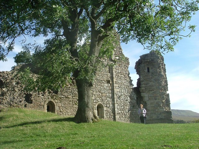
![]() This walk visits the ruins of the ancient Pendragon Castle in Mallerstang Dale, Cumbria.
This walk visits the ruins of the ancient Pendragon Castle in Mallerstang Dale, Cumbria.
The historic site is located a few miles south of Kirkby Stephen in a remote spot next to the River Eden. Pendragon is Grade I listed with a history stretching back to the 1100s.
The walk starts from the car park just off the B6259 on Tommy Road. From here you can pick up paths to take you around the castle ruins. There are some excellent views to the surrounding fells as you make your way around the site.
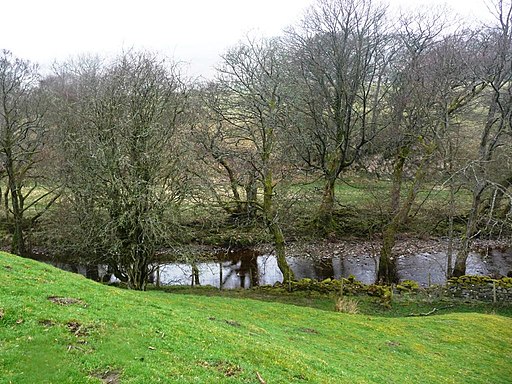
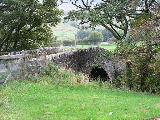
You can then continue your walk up to Castle Bridge where you can cross the river and enjoy a river side trail on the western side of the water.
The castle is located on the Lady Anne's Way long distance walk. The long distance trail is named after Lady Anne Clifford who rebuilt the castle in 1660, adding a brewhouse, bakehouse, stables and coach-house. It remained one of the favourites among her many castles until her death in 1676 at the age of 86.
You could continue your walking in the area by following her trail north into Kirkby Stephen where you could enjoy some pleasant riverside trails.
Postcode
CA17 4JT - Please note: Postcode may be approximate for some rural locationsPendragon Castle Ordnance Survey Map  - view and print off detailed OS map
Pendragon Castle Open Street Map  - view and print off detailed map
Pendragon Castle OS Map  - Mobile GPS OS Map with Location tracking
Pendragon Castle Open Street Map  - Mobile GPS Map with Location tracking
Further Information and Other Local Ideas
For a longer circular walk through the valley see the Mallerstang Walk page. This will take you south from the castle car park to the Hellgill Force waterfall.
Cycle Routes and Walking Routes Nearby
Photos
Information board. One of the castle's most notable owners was Sir Hugh de Morville, Lord of Westmorland, one of the four knights who murdered St Thomas Becket in 1170. A nearby high point on Mallerstang Edge is named after him, as Hugh Seat.


