Penn Wood Walk
1.2 miles (2 km)
![]()
![]() This walk visits Penn Wood near High Wycombe and Amersham in Buckinghamshire.
This walk visits Penn Wood near High Wycombe and Amersham in Buckinghamshire.
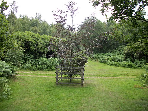
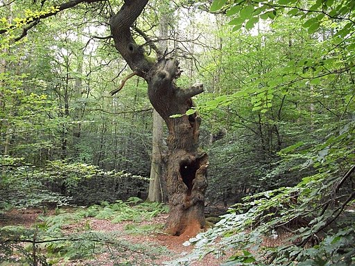
The walk starts in the car park on Penn Street on the eastern side of the woods. From here you can pick up the peaceful trails through the ancient woodland. Here you'll find pretty ponds and lots of bluebells during the spring months. It's also great for wildlife with lots of woodland birds, foxes, deer and red kites to see.
Postcode
HP7 0PY - Please note: Postcode may be approximate for some rural locationsPenn Wood Ordnance Survey Map  - view and print off detailed OS map
Penn Wood Open Street Map  - view and print off detailed map
*New* - Walks and Cycle Routes Near Me Map - Waymarked Routes and Mountain Bike Trails>>
Penn Wood OS Map  - Mobile GPS OS Map with Location tracking
Penn Wood Open Street Map  - Mobile GPS Map with Location tracking
Pubs/Cafes
The Squirrel is conveniently located very close to the car park on Penn Street. You can find them at postcode HP7 0PX for your sat navs.
The 18th century Hit or Miss is also on Penn Street and another good option.
Dog Walking
As you'd imagine the woodland trails are ideal for dog walking. You'll probably bump into other owners with their pets.


