Pinkery Pond Walk
![]()
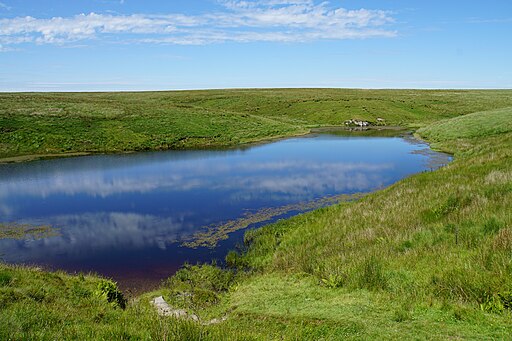
![]() This circular walk visits Pinkery Pond in the Barle Valley area of the Exmoor National Park.
This circular walk visits Pinkery Pond in the Barle Valley area of the Exmoor National Park.
You can start the walk from the parking area on the B3358 just south of the pond. Head west along the road and you will soon come to the YHA Pinkery where there is a track leading north to the pond. It's a lovely remote spot popular with wild swimmers in its deep red peat-infused water.
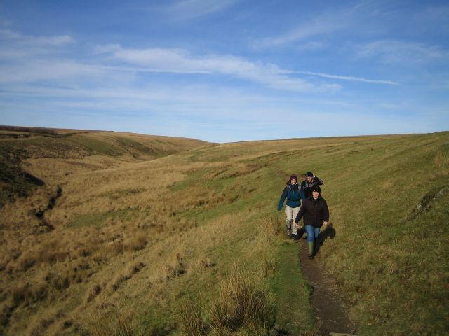
At the pond you can pick up the Tarka Trail and follow the path east to climb to Chains Barrow Hill. There's some nice views over the surrounding moorland to enjoy from this 487m high hill.
The walk then picks up the Macmillan Way West and follows it south past Goat Hill before returning to the road and the car park.
To continue your walking in the area head east into Simonsbath where there are views of the River Barle and a nice pub for refreshments.
Postcode
TA24 7LL - Please note: Postcode may be approximate for some rural locationsPinkery Pond Ordnance Survey Map  - view and print off detailed OS map
Pinkery Pond Open Street Map  - view and print off detailed map
Pinkery Pond OS Map  - Mobile GPS OS Map with Location tracking
Pinkery Pond Open Street Map  - Mobile GPS Map with Location tracking
Pubs/Cafes
Head into nearby Simonsbath and you could enjoy rest and refreshment at the Exmoor Forest Inn. The inn dates back to 1789 and serves high quality dishes. There's also a garden area, decent rooms and a campsite if you'd like to stay in the area.
Further Information and Other Local Ideas
Just to the west is the village of Challacombe where you will find some pleasant trails, an old mill and a noteworthy stone pub dating to the 16th century. The circular waterside trail around the scenic Wistlandpound Reservoir is also located in this area.


