Pleasley Vale Circular Walk with OS Map
![]()
![]() This circular walk explores the wooded valley of Pleasley Vale on the Derbyshire and Nottinghamshire border.
This circular walk explores the wooded valley of Pleasley Vale on the Derbyshire and Nottinghamshire border.
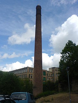
There's some lovely walking paths here taking you along the River Meden to the old Pleasley mills and a nature reserve. Here you can look out for a variety of flora and fauna including several different species of butterfly and woodpecker.
You can then follow footpaths along Littlewood Lane and Northfield Lane to create a loop walk through the area to the south of the vale.
On the southern side of the river there's also a cycle path along the River Meden Railway Trail which leads towards Mansfield.
Postcode
NG19 8RL - Please note: Postcode may be approximate for some rural locationsPleasley Vale Ordnance Survey Map  - view and print off detailed OS map
Pleasley Vale Open Street Map  - view and print off detailed map
*New* - Walks and Cycle Routes Near Me Map - Waymarked Routes and Mountain Bike Trails>>
Pleasley Vale OS Map  - Mobile GPS OS Map with Location tracking
Pleasley Vale Open Street Map  - Mobile GPS Map with Location tracking
Further Information and Other Local Ideas
You can extend the walk by heading west to visit the nearby Pleasley Pit Country Park. The park has some well laid out walking trails with ponds, reed beds, grassland and woodland to see.
Cycle Routes and Walking Routes Nearby
Photos
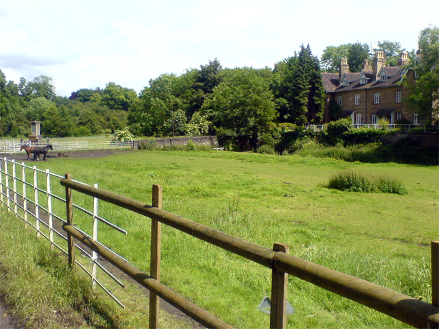
A view of the houses in the Vale from over the horse field. The war memorial can just be seen in the top left corner.


