Polruan to Lantic Bay Walk
1.9 miles (3 km)
![]()
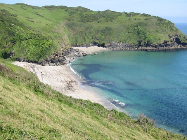
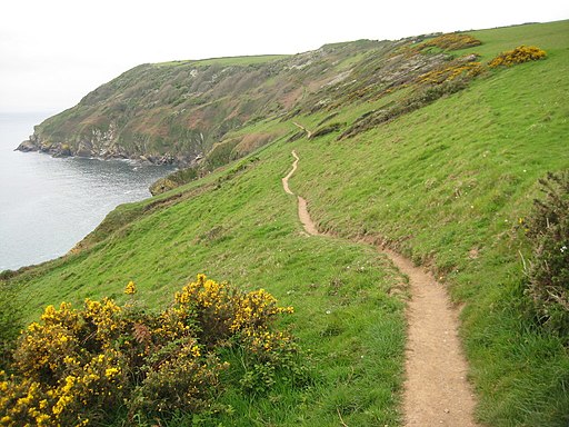
![]() This walk takes you from Polruant to Lantic Bay along a popular section of the South West Coast Path in Cornwall.
This walk takes you from Polruant to Lantic Bay along a popular section of the South West Coast Path in Cornwall.
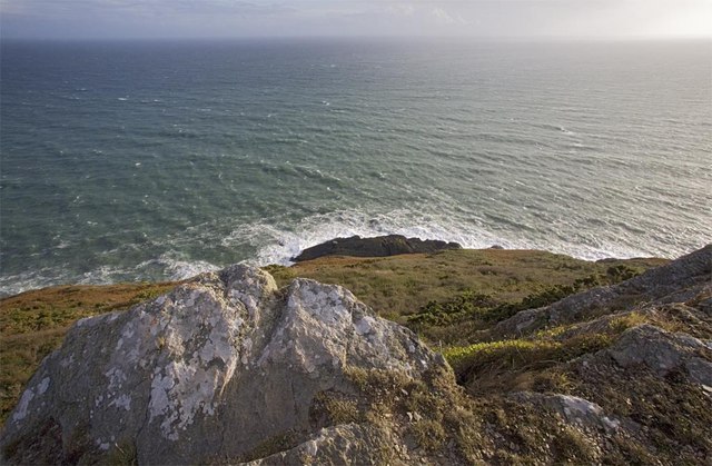
It's about a 2 mile walk along an undulating cliff top path with excellent coastal views for the duration.
The walk starts at the quay in Polruan and heads east to Lantic Bay where you'll find a beautiful secluded beach. The National Trust owned area is great for an afternoon picnic and a little paddle. You can extend the walk by heading to Pencarrow Head and Polperro on the Polperro to Polruan Walk.
Postcode
PL23 1NP - Please note: Postcode may be approximate for some rural locationsPolruan to Lantic Bay Walk Ordnance Survey Map  - view and print off detailed OS map
Polruan to Lantic Bay Walk Open Street Map  - view and print off detailed map
Polruan to Lantic Bay Walk OS Map  - Mobile GPS OS Map with Location tracking
Polruan to Lantic Bay Walk Open Street Map  - Mobile GPS Map with Location tracking
Further Information and Other Local Ideas
You can continue your exercise on the circular Lansallos and Lantivet Bay Walk which visits a wonderful scenic cove, a 15th century church and a picturesque beach waterfall.


