Pooley Bridge to Aira Force Walk
![]()
![]() This walk in the Lake District takes you from the village of Pooley Bridge to the wonderful Aira Force waterfall.
This walk in the Lake District takes you from the village of Pooley Bridge to the wonderful Aira Force waterfall.
The walk runs for just over 6 miles with some moderate hill climbs along the way.
You can start off from the public car park at Pooley Bridge at the north eastern end of Ullswater Lake. You then head west, passing Dunmallard Hill before climbing towards Wreay and Bennethead.
The walk continues south west into Swinburn's Park where there are some peaceful woodland trails and gills to see. This leads into Gowbarrow Park where you will pass Gowbarrow Fell with splendid views over the lake. At the western side of Gowbarrow Park you will come to Aira Force. The National Trust owned area includes the picturesque 65ft high falls and woodland trails with Himalayan firs, red squirrels and views of the Aira Beck.
You can continue your walking in the area on the Pooley Bridge to Glenridding Walk which follows lakeside trails on the southern side of the water.
Pooley Bridge to Aira Force Walk Ordnance Survey Map  - view and print off detailed OS map
Pooley Bridge to Aira Force Walk Open Street Map  - view and print off detailed map
Pooley Bridge to Aira Force Walk OS Map  - Mobile GPS OS Map with Location tracking
Pooley Bridge to Aira Force Walk Open Street Map  - Mobile GPS Map with Location tracking
Cycle Routes and Walking Routes Nearby
Photos
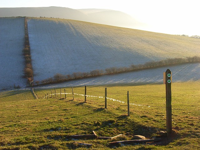
Soulby Fell. Looking down from Maiden Castle (unimpressive earthworks). The pastures were frozen solid but the frost only remained visibly in the shade on the southern side of the small valley. The fells to the south of Ullswater are in the background. The arrows mark the routes of permissive footpaths.
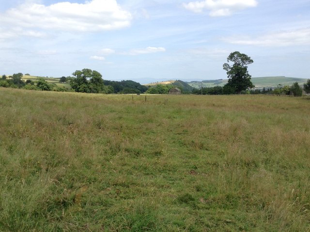
New Track, Swinburn's Park. The track appears a recent addition and is a rather ugly feature.Many native trees have been planted around it however.


