Portglenone Forest Walk
![]() This circular walk explores the Portglenone Forest Park in the village of Portglenone, County Antrim.
This circular walk explores the Portglenone Forest Park in the village of Portglenone, County Antrim.
The forested area is located just east of the village and contains a series of peaceful footpaths. In the spring months there's a fine display of bluebells and at the western end there's also the Augustine Henry Memorial Garden. The garden is dedicated to the Father of Irish Forestry Augustine Henry who's family came from Tyanee, Portglenone in the parish of Greenlough. In the garden you can see a couple of the rhododendrons which he brought back from his travels, and a plaque telling his story.
You can start your walk from the good sized public car park at the eastern end of the site. Heading west will take you to the River Bann which runs through the area. Along the way you can look out for a variety of woodland birdlife and enjoy a rest at one of the picnic tables.
To continue your walking in the area head west to pick up the Portglenone Fisherman's Walk. The popular riverside walk takes you along the River Bann and through the Glenone Forest on the opposite side of the river.
Postcode
BT44 8BN - Please note: Postcode may be approximate for some rural locationsPortglenone Forest Open Street Map  - view and print off detailed map
Portglenone Forest Open Street Map  - Mobile GPS Map with Location tracking
Dog Walking
As you'd imagine the woodland trails are ideal for dog walking. You will probably meet other owners on a fine day.
Further Information and Other Local Ideas
To the north west there's Garvagh Forest where there's some popular mountain bike trails, peaceful walks and an unusual folly in the shape of a pyramid..
To the south you'll find a pleasant waterside cycling and walking path along the Toome Canal. The canalside path leads down to Lough Neagh with some fine views over the expansive lake. Near here there's also the peaceful woodland trails at Ballyronan Wood.
Cycle Routes and Walking Routes Nearby
Photos
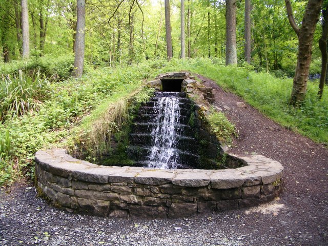
Portglenone forest is mixed woodland, on both sides of the River Bann, to the south east of Portglenone. It was originally part of a larger forest said, in the early 17th century, to be almost as big as the New Forest. This is one of the paths on the Co Antrim side of the Bann.
Portglenone Forest is split into two parts on either side of the Bann. The Co. Antrim part is the more developed for recreation. The larger and more commercial section is on the London/Derry bank of the river and is much more extensive than its Antrim counterpart. There is one paved path that loops in through the wood from the Fisherman's Walk and this tractor trail (boots required even in summer!) that cuts through to Culbane townland.


