Puttenham Common Walks
![]()
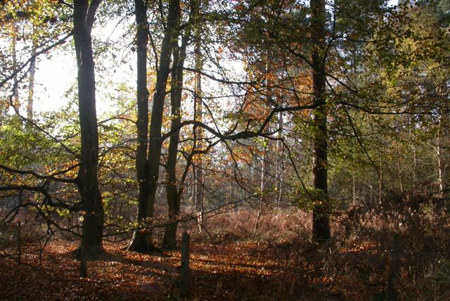
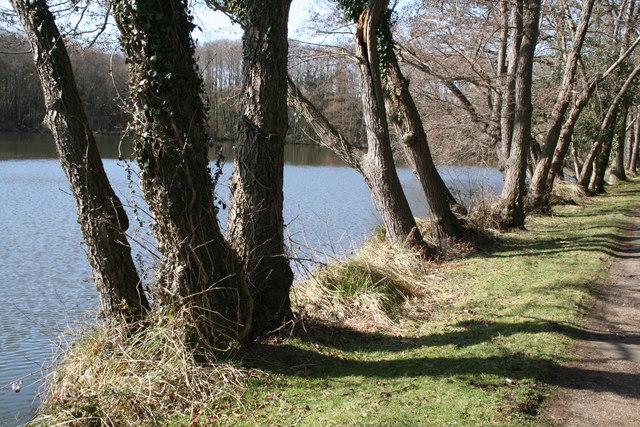
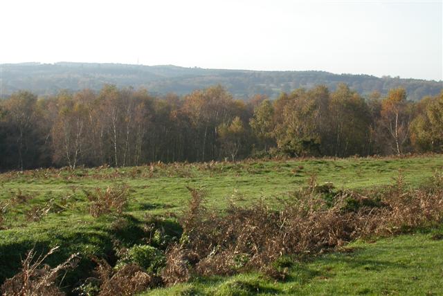
![]() Enjoy a peaceful walk through the woodland and heathland of Puttenham Common in the North Downs, near Guildford. There are several large ponds and wetland areas that attract a wide variety of wildlife including great crested grebes and grey herons. Look out for roe deer and green woodpecker in the woodland areas. There are also some good bridleways which are suitable for cyclists with mountain bikes.
Enjoy a peaceful walk through the woodland and heathland of Puttenham Common in the North Downs, near Guildford. There are several large ponds and wetland areas that attract a wide variety of wildlife including great crested grebes and grey herons. Look out for roe deer and green woodpecker in the woodland areas. There are also some good bridleways which are suitable for cyclists with mountain bikes.
This walk just takes you around Puttenham Common but you could easily extend your walk by heading west to the nearby Crooksbury Common where you can climb Crooksbury Hill for super views of the area.
You could also pick up the Fox Way or North Downs Way which run past the common.
Puttenham Common lies a few miles west of Guildford. You could follow the North Downs Way from Guildford straight to the common. It will take you through some nice woodland and past Compton, Littleton and Loseley Park.
Postcode
GU3 1BE - Please note: Postcode may be approximate for some rural locationsPuttenham Common Ordnance Survey Map  - view and print off detailed OS map
Puttenham Common Open Street Map  - view and print off detailed map
Puttenham Common OS Map  - Mobile GPS OS Map with Location tracking
Puttenham Common Open Street Map  - Mobile GPS Map with Location tracking
Pubs/Cafes
Head into Puttenham and you can visit The Good Intent Pub for some post walk refreshments. There's a fine interior with wooden beams and a cosy fireplace. There's also a nice beer garden for warmer days. They have a good menu and can be found in the village at postcode GU3 1AR for your sat navs.
Dog Walking
The expansive common is a great place to walk your dog and they can be off leads in most areas too. The Good Intent Pub mentioned above is also very dog friendly.
Further Information and Other Local Ideas
Just to the west of the common you will find the historic Waverley Abbey. There's some nice trails here around the 12th century abbey grounds and along the River Wey.
Head east and you can visit the noteworthy Hog's Back. This elevated ridge is a great place to enjoy views north to the landmarks of the city of London and south across the beautiful Downs countryside.
For more walking ideas in the area see the Surrey Walks page.


