Reedham Walks
![]()
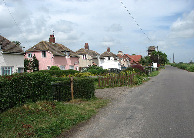
![]() This Broads village is a lovely place to start a walk with miles of riverside trails and some pleasant footpaths to follow through the surrounding countryside.
This Broads village is a lovely place to start a walk with miles of riverside trails and some pleasant footpaths to follow through the surrounding countryside.
This route from the village uses sections of the Wherryman's Way and the Weavers' Way to create a circular walk through the surrounding area.
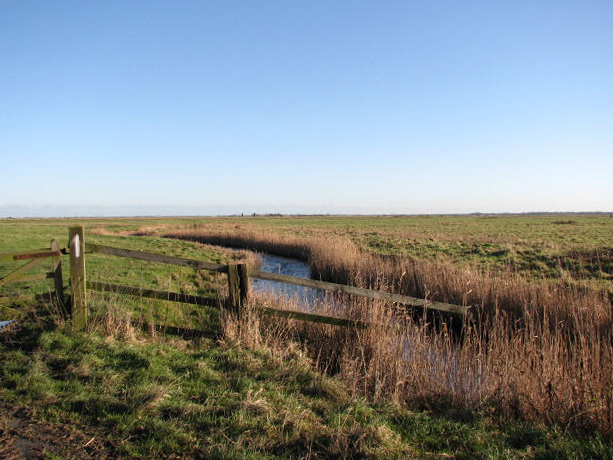
The walk starts in the village where you can pick up the Wherryman's Way and follow the waymarked footpath east along the River Yare to the Berney Marshes where there's lots of birdlife to see. In this area there are also nice views across the river to the historic Burgh Castle on the other side.
The route then picks up the Weavers' Way and follows the path along the river to Breydon Pump with views of the lovely Breydon Water as you go.
The route then heads west to visit the neighbouring villages of Halvergate and Freethorpe, passing picturesque mills on the way. The final section follows some flat country lanes to Limpenhoe Hill before turning east to return to the village.
Reedham Ordnance Survey Map  - view and print off detailed OS map
Reedham Open Street Map  - view and print off detailed map
Reedham OS Map  - Mobile GPS OS Map with Location tracking
Reedham Open Street Map  - Mobile GPS Map with Location tracking
Walks near Reedham
- Wherryman's Way - This walk follows the River Yare between Norwich and Great Yarmouth through the Norfolk Broads.
- Loddon - This attractive market town in Norfolk has some delightful riverside trails to try
- Weavers' Way - Follow the Weavers' Way through the beautiful Norfolk Broads from Cromer to Great Yarmouth via North Walsham
- Burgh Castle - Explore the Roman Fort and enjoy a stroll along the River Waveney on this short walk in Norfolk
- Breydon Water - Visit the UK's largest protected wetland on this wonderful waterside walk in Great Yarmouth
Further Information and Other Local Ideas
For more walking ideas in the area see the Norfolk Broads Walks page.
Photos
The ferry at Reedham. The car ferry at Reedham is essentially a small floating raft which is guided across the River Yare on chains. It can only carry two cars and is surprisingly busy, with it being the only crossing of the river between Great Yarmouth and Norwich. The Ferry Inn public house can be seen on the other side (the north side) of the river.


