Rising Sun Country Park
![]()
![]() Explore 400 acres of parkland on this lovely cycle or walk in Newcastle. There is an extensive network of footpaths and bridleways suitable for walkers and cyclists. The park is made up of various habitats including grassland, woodland, ponds, wetlands and a lake designated as a Local Nature Reserve. There is also a bird hide overlooking the Swallow Pond and an excellent Visitors' Centre with a Restaurant and Exhibition Room.
Explore 400 acres of parkland on this lovely cycle or walk in Newcastle. There is an extensive network of footpaths and bridleways suitable for walkers and cyclists. The park is made up of various habitats including grassland, woodland, ponds, wetlands and a lake designated as a Local Nature Reserve. There is also a bird hide overlooking the Swallow Pond and an excellent Visitors' Centre with a Restaurant and Exhibition Room.
Postcode
NE12 9SS - Please note: Postcode may be approximate for some rural locationsPlease click here for more information
Rising Sun Country Park Ordnance Survey Map  - view and print off detailed OS map
Rising Sun Country Park Open Street Map  - view and print off detailed map
Rising Sun Country Park OS Map  - Mobile GPS OS Map with Location tracking
Rising Sun Country Park Open Street Map  - Mobile GPS Map with Location tracking
Pubs/Cafes
There's a good on site cafe selling a range of meals and snacks. There's ample seating outside so you can enjoy your meal with a view of the park.
Dog Walking
The park is a very nice place to bring your dog for a walk. You're bound to bump into plenty of other dogs with their owners on a fine day. The on site cafe is also dog friendly.
Further Information and Other Local Ideas
Just to the south of the park you can pick up the epic Hadrian's Wall Path at Wallsend. The waymarked trail will take you west along the Tyne River to Newcastle and Gateshead. Here you can visit another local country park in the shape of Watergate Forest Park where there's some nice woodland trails and a pretty lake.
Cycle Routes and Walking Routes Nearby
Photos
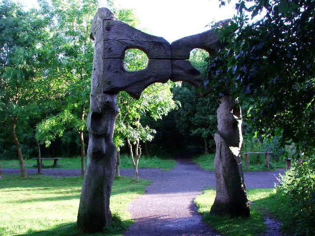
Autumn colours in the Rising Sun Country Park The trees in the park are mainly Birch, Scots Pine, Alder, Oak and Hawthorn. Their growth has been slow, possibly due to nature of the soil.


