River Hamble Walk
![]()
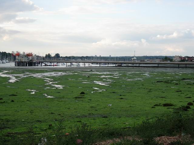
![]() Enjoy a lovely waterside walk along the River Hamble on this easy walk in southern Hampshire. The walk starts in the village of Warsash at the mouth of the River Hamble. Park at the car park on Shore Road and pick up the public footpath heading north along the river. It's a delightful trail, passing Bunny Meadows and Wendleholme Nature Reserve with views across the water to Hamble-le-Rice. The trail runs for just over two miles, finishing at Lower Swanick, opposite Bursledon.
Enjoy a lovely waterside walk along the River Hamble on this easy walk in southern Hampshire. The walk starts in the village of Warsash at the mouth of the River Hamble. Park at the car park on Shore Road and pick up the public footpath heading north along the river. It's a delightful trail, passing Bunny Meadows and Wendleholme Nature Reserve with views across the water to Hamble-le-Rice. The trail runs for just over two miles, finishing at Lower Swanick, opposite Bursledon.
The Solent Way runs through Warsash so this is a good option if you would like to extend your walking in the area. You can pick up the path and enjoy views over Southampton Water.
You can also catch the ferry to Hamble-le-Rice and explore Hamble Common or follow the Strawberry Trail around the beautiful Hamble Valley.
River Hamble Ordnance Survey Map  - view and print off detailed OS map
River Hamble Open Street Map  - view and print off detailed map
River Hamble OS Map  - Mobile GPS OS Map with Location tracking
River Hamble Open Street Map  - Mobile GPS Map with Location tracking
Pubs/Cafes
Back in Warsash The Rising Sun is a good choice for some post walk refreshments. It's over 200 years old and includes and upstairs section with wonderful views over the river. It's the perfect spot to relax with a drink after your exercise. You can find them on Shore Road at a postcode of SO31 9FT for your sta navs.
At Lower Swanick there's the Harper’s Steakhouse at the Marina. You can find them at 286 Bridge Rd, Lower Swanwick, Southampton SO31 7EB. Also at the marina is The Boat House Cafe. The cafe has a good menu and fine views over the river.
Further Information and Other Local Ideas
On the route you'll pass very close to the delightful Holly Hill Woodland Park. You could take a small detour to explore the park which includes peaceful woodland trails, ponds and a lake.
The Warsash Walk heads in the opposite direction to visit Hook Lake and the nearby Titchfield Haven. This lovely nature reserve is one of the highlights of the area with an abundance of wildlife and views of the River Meon. In nearby Gosport and Lee on Solent there's also Alver Valley Country Park to visit. The 500 acre park has some nice trails along the River Alver, another wildlife rich nature reserve, a cafe and cycle paths.
Near the end of the walk there's the Swanwick Lakes Nature Reserve. There's nice trails here taking you around woodland, meadows and lakes with lots of interesting flora and fauna to see on the way. You can find the reserve just a mile north east of Lower Swanick.
For more walking ideas in the area see the Hampshire Walks page.
Cycle Routes and Walking Routes Nearby
Photos
Fishermen and Geese. At the mouth of the Hamble, looking along the Warsash Maritime Centre training pier.
Footbridge and footpath along eastern bank of River Hamble. The footbridge spans a break in the embankment affording access from the river (on the right) to a small jetty (off picture left) associated with a house. A solar-powered person counter is built into this bridge. Calshot power station in far distance.


