River Roding Walk
![]()
![]() This cycling and walking route follows the River Roding from Roding Valley station to Ilford in Greater London. It's a nice trail on mainly traffic free paths so it is suitable for anyone looking for an easy cycle ride or pleasant stroll.
This cycling and walking route follows the River Roding from Roding Valley station to Ilford in Greater London. It's a nice trail on mainly traffic free paths so it is suitable for anyone looking for an easy cycle ride or pleasant stroll.
The route starts at Roding Valley station in Buckhurst Hill just west of Chigwell. The start point is close to the lovely Roding Valley Meadows nature reserve which is well worth a visit. The trail heads south past Woodford, Charlie Brown's Roundabout, Redbridge and Wanstead Park before finishing in Ilford. If you're on foot then Wanstead Park is a great place for a stroll. The river runs past the eastern side of the park which also includes a Heron pond and an Ornamental canal. The 140 acre park also has the splendid Chestnut Trail to try.
There's lots more to see in the area if you would like to extend your outing. The Epping Forest Centenary Walk can be picked up on Wanstead Flats near the end of the route.
Knighton Wood at the start of the route has the circular Rowan Trail to follow through the popular rhododendron wood.
River Roding Ordnance Survey Map  - view and print off detailed OS map
River Roding Open Street Map  - view and print off detailed map
River Roding OS Map  - Mobile GPS OS Map with Location tracking
River Roding Open Street Map  - Mobile GPS Map with Location tracking
Further Information and Other Local Ideas
In Ilford you could head to Valentines Park to extend your exercise. The lovely park includes a series of lakes, a 17th century mansion and beautiful gardens. In 2012 the park was voted the 6th favourite park in the country. The lakeside trails at Fairlop Waters Country Park are also located near here.
The circular walk from Loughton vists the nature reserve from the nearby town's London Underground station. It's an attractive place worthy of exploration with dozens of historic listed buildings and three conservation areas. The route also visits Hainault Forest Country Park and part of Epping Forest.
For more walking ideas in the area see the London Walks and Essex Walks pages.
Cycle Routes and Walking Routes Nearby
Photos
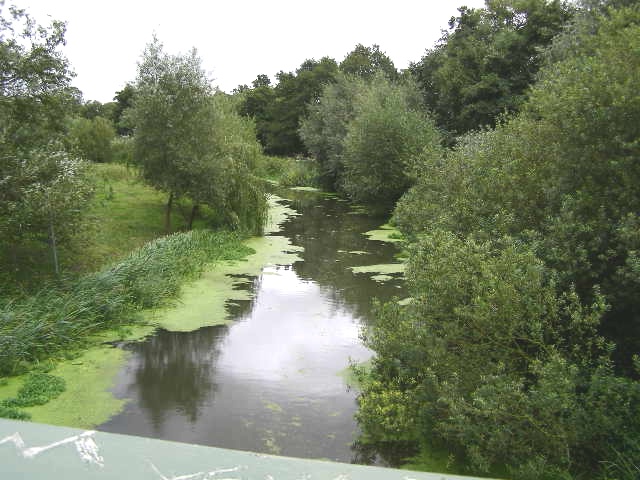
River Roding in Ilford. Viewed looking upstream from the Ilford Hill road bridge, which is at the NTL (normal tidal limit) of the Roding.
Spring view of the River Roding near Loughton. A nice view in April with pretty flowers and the trees beginning to show.


