Rollright Stones Circular Walk
![]()
![]() This circular walk follows the Shakespeare's Way long distance footpath from Chipping Norton to the Rollright Stones on the Oxfordshire/Warwickshire border.
This circular walk follows the Shakespeare's Way long distance footpath from Chipping Norton to the Rollright Stones on the Oxfordshire/Warwickshire border.
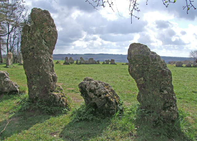
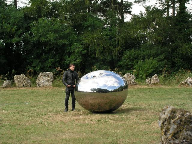
This fascinating group of Neolithic and Bronze Age megalithic monuments consists of three groups: the King's Men stone circle, the Whispering Knights burial chamber and the single King Stone. It is said that the stones are a representation of a king and his knights who had been turned to stone by a witch.
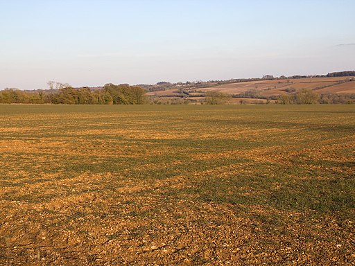
The walk starts from the interesting market town of Chipping Norton. Highlights in the town include the pretty row of Almshouses, founded in 1640 and the church which dates from the 12th century. You then follow the Shakespeare's Way into the countryside towards Salford and Little Rollright before coming to the stones. It is about a 3 mile walk from Chipping Norton to the stones. You can turn it into a circular walk from Salford by following footpaths back from Brighthill Farm.
To extend your walking in the area you could head north and visit the pretty Whichford Wood.
Postcode
lOX7 5QB - Please note: Postcode may be approximate for some rural locationsPlease click here for more information
Rollright Stones Ordnance Survey Map  - view and print off detailed OS map
Rollright Stones Open Street Map  - view and print off detailed map
*New* - Walks and Cycle Routes Near Me Map - Waymarked Routes and Mountain Bike Trails>>
Rollright Stones OS Map  - Mobile GPS OS Map with Location tracking
Rollright Stones Open Street Map  - Mobile GPS Map with Location tracking
Explore the Area with Google Street View 
Pubs/Cafes
Chipping Norton has a fine selection of old pubs for some refreshments after your walk. The Cheqeurs is a great choice with its cosy atmosphere, traditional decor and open fire. There's also a lovely bright conservatory area. The pub is in fact the oldest building in town - built more than 500 years ago. You can find it right at the old entrance to the town’s famous market place on Goddard Lane with a postcode of OX7 5NP.
Also of note is the Blue Boar. A listed building that dates back to 1641, this old coach house is located right at the end of the high street. Original wooden beams line the pub lacing it with character and giving it that warm country feel. You can find the pub at postcode OX7 5NP.
Further Information and Other Local Ideas
The circular Hook Norton Walk visits the stones from the nearby village. It also visits Ascott, Whichford Wood and the village of Great Rollright. It's a nice way of exploring the countryside surrounding the site and visiting the interesting village which includes a well known local brewery.
Just a few miles to the south east there's the historic Heythrop Park to explore. The 18th century hotel is surrounded by some beautiful parkland and gardens with miles of walking and cycling trails to try.
The D'arcy Dalton Way passes through the area. This waymarked long distance trail starts off to the north at Wormleighton Reservoir and heads south through the Cotswolds towards Ashbury. It's a good way of further stretching your legs if you have time.
For more walking ideas in the area see the Warwickshire Walks and Cotswolds Walks pages.
Cycle Routes and Walking Routes Nearby
Photos
Encrusted with lichen and time worn, one of the limestone boulders that make up the King's Men stone circle, placed here 4500 years ago.


