Rostrevor Forest - Cloughmore Stone - Slieve Martin Walk
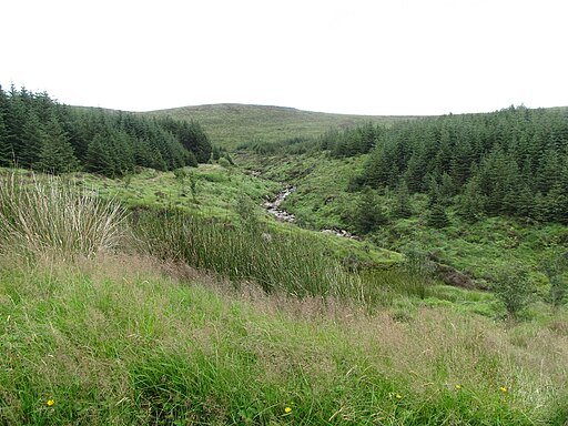
![]() This walk visits Rostrevor Forest, on the edge of the Mourne Mountains. The expansive forest has miles of waymarked footpaths and a challenging red grade mountain bike trail for cyclists to try.
This walk visits Rostrevor Forest, on the edge of the Mourne Mountains. The expansive forest has miles of waymarked footpaths and a challenging red grade mountain bike trail for cyclists to try.
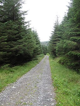
This route in the forest uses two of the waymarked trails to create a long circular walk through the woods. On the way you will visit two glorious local viewpoints including the peak of Slieve Martin and the huge Cloughmore Stone.
The walk starts from the car park at Kilbroney Forest Park on the western edge of the forest. From here you can pick up the Slievemartin Trail which will take you east to the Cloughmore Stone. Here you will find a huge granite boulder perched on a mountainside at a height of almost 1,000 feet (300 m). From here there are splendid views over the village of Rostrevor and Carlingford Lough below.
The trail continues east to Slieve Martin. The mountain stands at a height of 485 metres, providing fine views over the area.
The route then heads west to pick up the Slievebane Trail which takes you north on a looped path.
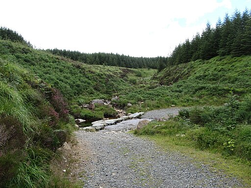
The Mourne Way also passes through the forest. You can follow part of the trail through the scenic valley of the Glen River on the western side of the forest. The 23 mile trail runs from coastal Newcastle to Rostrevor on Carlingford Lough. The waymarked path is a great way of further exploring the Mourne Mountains.


