Isle of Bute Circular Walk - Rothesay to Ettrick Bay
![]()
![]() This circular walk takes you from Rothesay to Ettrick Bay on the stunning Isle of Bute.
This circular walk takes you from Rothesay to Ettrick Bay on the stunning Isle of Bute.
The route uses part of the West Island Way and other quiet country roads to take you to the picturesque Ettrick Bay on the western side of the island.
Start the walk from the ferry in Rothesay and head west to pick up the West Island Way. The trail will take you north west towards Port Bannatyne and Kames Bay. Roads then lead you west to Colmac Bridge and the St Colmac Church ruins before coming to the beautiful Ettrick Bay where you'll find a lovely beach and views over the Kyles of Bute.
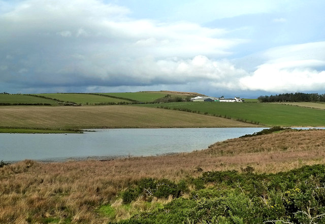
You can follow footpaths south along the bay before joining country roads to Ballianlay. Here you turn east, passing the pretty Greenan Loch before returning to Rothesay.
Rothesay to Ettrick Bay Ordnance Survey Map  - view and print off detailed OS map
Rothesay to Ettrick Bay Open Street Map  - view and print off detailed map
Rothesay to Ettrick Bay OS Map  - Mobile GPS OS Map with Location tracking
Rothesay to Ettrick Bay Open Street Map  - Mobile GPS Map with Location tracking
Cycle Routes and Walking Routes Nearby
Photos
Rothesay Pier. Rothesay is the principal town on the Isle of Bute. It is located along the coast of the Firth of Clyde. It can be reached by ferry from Wemyss Bay, which offers an onward rail link to Glasgow. At the centre of the town is the 13th-century ruin Rothesay Castle, unique in Scotland for its circular plan.
Ettrick Bay 1. The bay faces the Kyles of Bute, a narrow sea channel that separates the northern end of the Isle of Bute from the Cowal peninsula, and offers views of Isle of Arran. The bay was used for practice training for the D-Day landings.
Ettrick Bay 2. A number of rivers flow into the bay, including the Glenmore Burn, Ettrick Burn, Drumachloy Burn and St Colmac Burn. The Kildavanan Point is situated at the northernmost point of the bay, which is mostly made up of rocky outcrops, and is not far from Macallister's Gun. The rocky outcrop known as Island McNeil, which is located at the bay's southern extremity, serves as its exterior limit.


