Rowardennan to Inversnaid Walk
![]()
![]() This walk follows a lovely section of the West Highland Way from Rowardennan to Inversnaid in the Loch Lomond and the Trossachs National Park.
This walk follows a lovely section of the West Highland Way from Rowardennan to Inversnaid in the Loch Lomond and the Trossachs National Park.
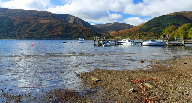
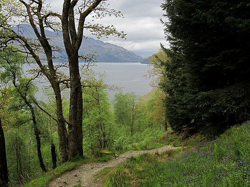
The route runs for about 7 miles, following the waymarked footpath north along the loch. On the way there are some small climbs, large expanses of woodland and fine views over the loch.
You can extend the walk by visiting Inversnaid Falls and the Inversnaid Nature Trail. The picturesque falls are located just to the east of the hotel at the end of the walk.
In Inversnaid you can also pick up the Waterbus to Inveruglas or Tarbet.
The route links with the previous stage of the West Highland Way on the Balmaha to Milarrochy Bay and Rowardennan Walk. This takes you south to the beautiful Milarrochy Bay and the village of Balmaha where you can explore the wildlife rich Balmaha Forest.
The next stage is on the Inversnaid to Tyndrum Walk which takes you through Glen Falloch to Crianlarich and Tyndrum.
Rowardennan to Inversnaid Ordnance Survey Map  - view and print off detailed OS map
Rowardennan to Inversnaid Open Street Map  - view and print off detailed map
Rowardennan to Inversnaid OS Map  - Mobile GPS OS Map with Location tracking
Rowardennan to Inversnaid Open Street Map  - Mobile GPS Map with Location tracking
Pubs/Cafes
At the end of the walk you can enjoy some refreshment at the Inversnaid Hotel, a popular pit stop for walkers on the West Highland Way. The impressive hotel sits in a splendid location right next to the loch. It has some interesting history having previously been a hunting lodge for the Duke of Montrose. There are also links to Scotland's famous clan warfare and the clearances in the 18th century. From the hotel there are fine views of nearby Arklet falls, the muse of Wordsworth and Sir Walter Scott.
Cycle Routes and Walking Routes Nearby
Photos
Rowchoish. A small building in a remote clearing between the West Highland Way and Loch Lomond. There is ruined building behind the position where the photograph was taken from.


