Royal Victoria Park Bath
1.2 miles (2 km)
![]()
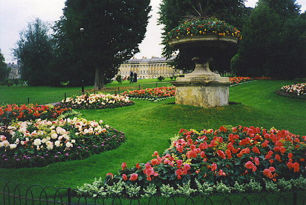
![]() Enjoy a stroll around this popular, 57 acre park in the centre of Bath. The park was opened in 1830 by Queen Victoria at the age of 11. Tree lined footpaths take you through the park to the beautiful botanical gardens at the western edge.
Enjoy a stroll around this popular, 57 acre park in the centre of Bath. The park was opened in 1830 by Queen Victoria at the age of 11. Tree lined footpaths take you through the park to the beautiful botanical gardens at the western edge.
You can continue your walking in the city by picking up the popular Bath Canal Walk and the Bath Skyline Walk for great views over the area.
Postcode
BA1 2NQ - Please note: Postcode may be approximate for some rural locationsRoyal Victoria Park Bath Ordnance Survey Map  - view and print off detailed OS map
Royal Victoria Park Bath Open Street Map  - view and print off detailed map
Royal Victoria Park Bath OS Map  - Mobile GPS OS Map with Location tracking
Royal Victoria Park Bath Open Street Map  - Mobile GPS Map with Location tracking
Pubs/Cafes
Head to the on site Royal Pavilion Cafe for some post walk refreshment. They sell a good range of meals, snacks and treats.
Dog Walking
The park is a popular place for dog walkers so you'll probably see other owners on your visit. You are requested to keep them on leads in most areas.
Further Information and Other Local Ideas
For more walking ideas in the area see the Somerset Walks page.


