Rufus Stone
![]()
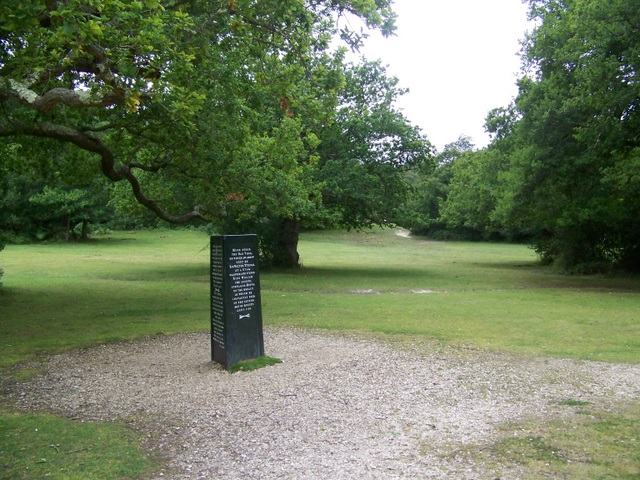
![]() This walk visits the historic Rufus Stone in the New Forest. It's a very peaceful spot which marks the spot where King William II (William Rufus) was killed in a hunting accident. There's a monument here to the incident, a picnic area and some nice peaceful walking trails to follow through the surrounding woodland.
This walk visits the historic Rufus Stone in the New Forest. It's a very peaceful spot which marks the spot where King William II (William Rufus) was killed in a hunting accident. There's a monument here to the incident, a picnic area and some nice peaceful walking trails to follow through the surrounding woodland.
The walk starts from the car park next to the stone at a postcode of SO43 7HN. The route then heads north east to visit the nearby Bignell Wood and Wittensford Bridge. You then return to the car park on the same paths though you could extend the walk by heading west to visit the adjacent Castle Malwood Walk.
Postcode
SO43 7HN - Please note: Postcode may be approximate for some rural locationsRufus Stone Ordnance Survey Map  - view and print off detailed OS map
Rufus Stone Open Street Map  - view and print off detailed map
Rufus Stone OS Map  - Mobile GPS OS Map with Location tracking
Rufus Stone Open Street Map  - Mobile GPS Map with Location tracking
Pubs/Cafes
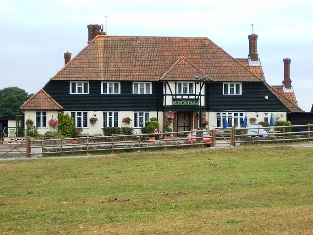
The Sir Walter Tyrrell is the ideal place to go to after visiting the stone. It's aptly named after the Anglo-Norman nobleman who apparently shot the arrow that killed King Rufus. They have a very good menu and a cosy interior with log fires. Outdoors there's a garden area for finer weather. You can find the pub just a short stroll north from the stone at a postcode of SO43 7HD.
Dog Walking
The woodland trails around the stone are ideal for a walk with your dog. The Sir Walter Tyrrell mentioned above is also dog friendly.
Further Information and Other Local Ideas
The stone is located just north of the pretty village of Minstead. Here you'll find a delightful village green, thatched cottages, a popular local pub and a historic 13th century church. The Minstead Walk starts from here and visits the stone and the beautiful Furzey Gardens. It's a nice way to visit the site and take in another local highlight.
A few miles west of the village there's the Bolderwood Deer Sanctuary which is also well worth a visit. You can reach it on the Acres Down Walk which additionally visits the pretty streams and woodland of the Highland Water Inclosure.
For more walking ideas in the area see the New Forest Walks page.
Cycle Routes and Walking Routes Nearby
Photos
The Rufus Stone. The Rufus Stone was erected by Earl De La Warr in 1745 and marks the presumed spot where William II was killed by an arrow fired by Walter Tyrrell, while hunting on 2nd August 1100. The killing was said to be accidental. The King's youngest brother, Henry, hearing of his brother's death, rode to Winchester, seized the treasury and had himself proclaimed king by the barons, forestalling the claims of his eldest brother, Robert of Normandy.
The Sir Walter Tyrrell Public House. Just a few yards from the Rufus Stone, this pub is aptly named, after the gentleman who apparently shot the arrow that killed King Rufus.
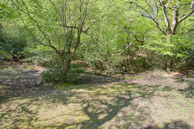
Pony grazing in Bignell Wood. This picture is from the western part of Bignell Wood, which contains many moss-covered oaks and beeches, along with the usual understorey of holly. There are numerous wet glades and clearings and, since it is part of the open Forest, it is all well-browsed by the wandering commoners' ponies.
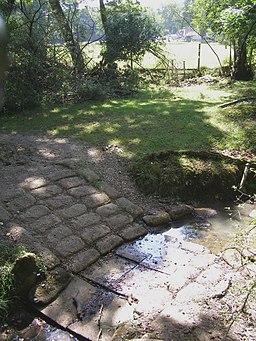
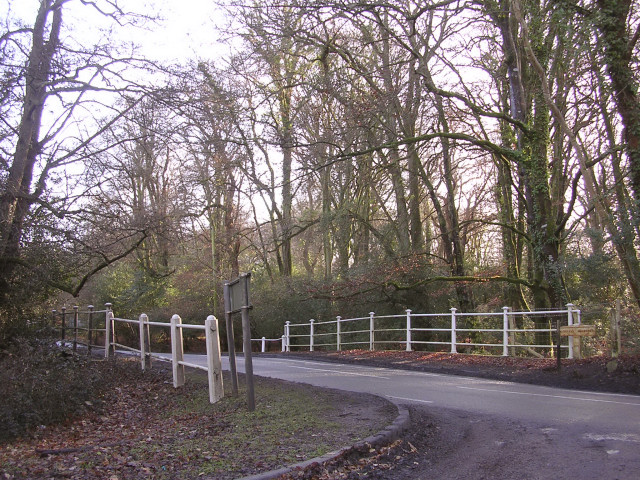
The bridge at Wittensford. This bridge carries the B3079 over the stream at Wittensford, which was (presumably) once a ford. The B3079 connects Bramshaw and Brook with Cadnam, and this bridge is about half a mile from Junction 1 of the M27. There is an old road sign at the right end of the bridge railings, with Minstead to the left and Bramshaw to the right.
