Sarehole Mill Walk
![]()
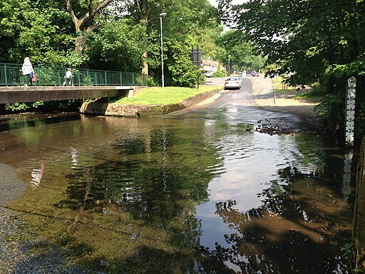
![]() This walk visits the pretty Sarehole Mill in Birmingham. There's nice trails to follow along the River Cole heading north from the mill to the Shire Country Park Great Mill Meadows.
This walk visits the pretty Sarehole Mill in Birmingham. There's nice trails to follow along the River Cole heading north from the mill to the Shire Country Park Great Mill Meadows.
Heading south from the mill will take you along the river and the John Morris Jones Walkway towards Yardley Wood.
The mill dates back to the 16 century and is notable as Birmingham's last surviving water mill. It's a nice place for a stroll with riverside trails and pretty weirs to enjoy.
The area has strong connections to the author J.R.R Tolkien who was inspired by the local scenery when he lived near Sarehole Mill as a child. He has stated that he used the mill as a location in The Lord of the Rings, for the Mill at Hobbiton.
To continue your walking along the River Cole in the city you could try the Cole Valley Walk which visits Kingfisher Country Park.
Postcode
B13 0BD - Please note: Postcode may be approximate for some rural locationsPlease click here for more information
Sarehole Mill Ordnance Survey Map  - view and print off detailed OS map
Sarehole Mill Open Street Map  - view and print off detailed map
Sarehole Mill OS Map  - Mobile GPS OS Map with Location tracking
Sarehole Mill Open Street Map  - Mobile GPS Map with Location tracking
Pubs/Cafes
After the walk you could enjoy delicious freshly baked pizza in the pleasant courtyard at the site.
Dog Walking
The mill grounds are very dog friendly with water bowls provided. You are asked to please keep them on leads. Non-Assistance dogs are not allowed in the historic spaces or on the tours.
Further Information and Other Local Ideas
To continue your walking in the area head to the nearby Moseley Bog where you can enjoy more trails around the ancient woodland.
To the north you can pick up the Grand Union Canal Walk and enjoy more waterside walking along the towpath to Solihull.
Just to the west is Swanshurst Park where there's a nice circular trail around a pretty lake.
For more walking ideas in the area see the West Midlands Walks page.
Cycle Routes and Walking Routes Nearby
Photos
Sarehole Mill, Hall Green, Birmingham. There has been a mill on this site since 1542. It has been rebuilt since that time and was used by Matthew Boulton for sheet metal rolling during the 18th century. It was also used for grinding tools, making gun barrels and finally as a flour mill. It is Birmingham's last surviving water mill, and flour making demonstrations are still held occasionally. It is open to the public free of charge and deserves a visit if you're ever in the area.
Four Arches Bridge, south of the mill. Four Arches Bridge This is the old four arches bridge. Previously, this used to link Webb Lane and the Old Brook Lane. There is evidence of a tunnel under the railway line, but this eventually became disused. The Four Arches bridge now provides a footpath between Coleside Avenue and the Dingles Recreation ground in Hall Green across the River Cole.


