Scarborough to Filey Walk
![]()
![]() This is a popular coastal walk between these two attractive North Yorkshire towns. It's a particularly beautiful stretch of coast with lovely bays, exhilarating cliff tops, gorgeous beaches and fascinating rock formations. The route is a 9 mile walk on good paths with some moderate climbs along the way. It follows the Cleveland Way National Trail for much of the way.
This is a popular coastal walk between these two attractive North Yorkshire towns. It's a particularly beautiful stretch of coast with lovely bays, exhilarating cliff tops, gorgeous beaches and fascinating rock formations. The route is a 9 mile walk on good paths with some moderate climbs along the way. It follows the Cleveland Way National Trail for much of the way.
The walk starts by St Nicholas cliff in Scarborough and heads south past South Sands and South Bay to Wheatcroft Cliff. You'll also pass through South Cliff Gardens and Holbeck Gardens on this lovely opening section.
The route then heads along the golf course at Wheatcroft to Cornelian Bay before coming to one of the walk's major highlights at Cayton Bay. The area is managed by the National Trust and includes a beautiful surfing beach and a woodland section along Cayton Cliff.
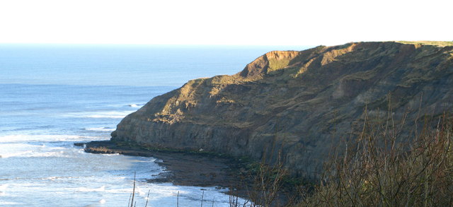
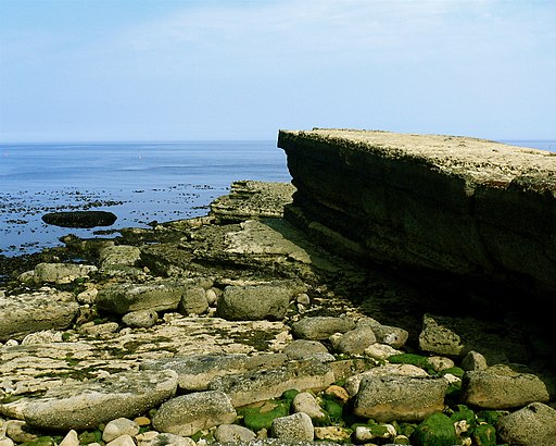
The next section takes you past the interesting rock formations at Lebberston Cliff to the pretty Gristhorpe Sands. You then pass along Newbiggin cliff before coming to Filey Brigg. This striking rocky promontory is another major feature of this section of the coast path. It's a great place for looking out for the wide variety of sea birds which visit the area.
The final section takes you along Filey Sands to the town of Filey. It's a great place for refreshments with plenty of pubs and cafes to choose from.
Filey sits at the northern end of the Yorkshire Wolds Way so you could pick this up to extend your walk. You can follow it inland through the countryside to nearby Muston.
At the end of the route you will also find the lovely Filey Brigg Country Park. The park has super views over Filey Bay and the town below.
You can virtually explore this section of the Cleveland Way by using the google street view link below.
You can also extend your walking by following the Cleveland Way north and visiting Robin Hood's Bay and Whitby on the Whitby to Scarborough Walk.
Heading south will take you to Bempton Cliffs and Flamborough Head on the Filey to Bridlington Walk.


