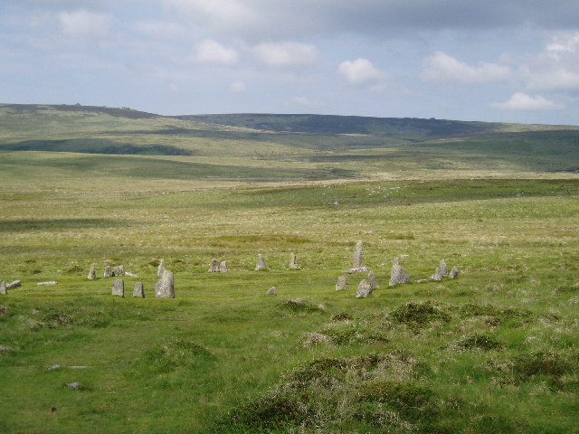
Scorhill Stone Circle
![]()
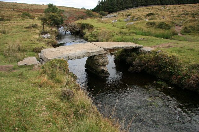
![]() This walk visits the Scorhill Stone Circle and the Wallabrook Clapper Bridge in the Teign Valley of Dartmoor.
This walk visits the Scorhill Stone Circle and the Wallabrook Clapper Bridge in the Teign Valley of Dartmoor.
The walk starts from the parking area at Scrohill Farm near Gidleigh. Here you can pick up a footpath along the River Teign Walk and follow it south west up to the stone circle on Scorhill Down. The site is an English Heritage scheduled monument and has been described as Devon's finest, most intact stone circle. It was constructed during the Bronze Age.
If you continue a short way along the path you will soon come to the photogenic Wallabrook Clapper Bridge.
Postcode
TQ13 8EU - Please note: Postcode may be approximate for some rural locationsScorhill Stone Circle Ordnance Survey Map  - view and print off detailed OS map
Scorhill Stone Circle Open Street Map  - view and print off detailed map
Scorhill Stone Circle OS Map  - Mobile GPS OS Map with Location tracking
Scorhill Stone Circle Open Street Map  - Mobile GPS Map with Location tracking
Further Information and Other Local Ideas
The village of Chagford lies just to the east. You could visit the stone circle from here by following the River Teign Walk for about 4 miles.
Just to the north you can pick up the Sticklepath Walk and enjoy a climb to the viewpoint at Cosdon Hill.
For more walking ideas in the area see the Dartmoor Walks page.
Cycle Routes and Walking Routes Nearby
Photos
Clapper bridge on the North Teign. This bridge is situated 100 metres upstream from the Teign-e-ver Bridge and 200 metres from the tolmen stone.
Gidleigh Leat near Scorhill Circle. Looking southeast along the leat with the trees around Batworthy in the background.


