Selsley Common
![]()
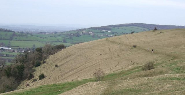
![]() This large open area near Stroud has miles of footpaths and wonderful panoramic views over the Cotswolds. It covers 97 acres and consists of wide open grassland with a variety of rare flora and fauna. Look out for wildflowers and orchids including the Green-winged Orchid and Fragrant Orchid. Butterflies such as Small Blue, Grayling and the Duke of Burgundy Fritillary fly around the flowers in the summer months.
This large open area near Stroud has miles of footpaths and wonderful panoramic views over the Cotswolds. It covers 97 acres and consists of wide open grassland with a variety of rare flora and fauna. Look out for wildflowers and orchids including the Green-winged Orchid and Fragrant Orchid. Butterflies such as Small Blue, Grayling and the Duke of Burgundy Fritillary fly around the flowers in the summer months.
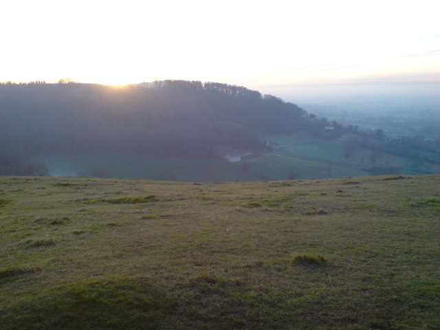
The common is in an elevated position above Stroud so there are far ranging views to enjoy. On a clear day you can see the Malvern Hills, the Welsh Hills and the River Severn. The area is very popular with walkers, paragliders and hang gliders.
This circular walk starts from the car park at the southern end of the common but you could also follow the the Cotswold Way from Stroud. You can follow the trail from the town centre along the Stroudwater Canal before turning south near Ebley, towards the common.
The Cotswold Way runs across the common so if you would like to extend your walk you could follow this trail west into Pen Hill Wood and Stanley Wood.
Also nearby is the delightful Rodborough Common and Woodchester Park which has similar trails and viewpoints.
The common is located just to the west of Woodchester so you could also start your walk from here.
Postcode
GL5 5FY - Please note: Postcode may be approximate for some rural locationsSelsley Common Ordnance Survey Map  - view and print off detailed OS map
Selsley Common Open Street Map  - view and print off detailed map
Selsley Common OS Map  - Mobile GPS OS Map with Location tracking
Selsley Common Open Street Map  - Mobile GPS Map with Location tracking
Pubs/Cafes
After your exercise head to the Bell Inn in Selsley for some post walk refreshments. It's a pub of some note dating from the 16th Century and also grade two listed. The pub can now boast listings in The Good Food Guide, and The Good Pub Guide as well as 2AA rosettes for their food. In the summer months you can sit outside and enjoy fine views of the surrounding countryside. In the winter there's roaring log burners to warm you up after your chilly walk!
Dog Walking
The common is very popular with dog walkers and the Bell Inn mentioned above is also dog friendly.
Cycle Routes and Walking Routes Nearby
Photos
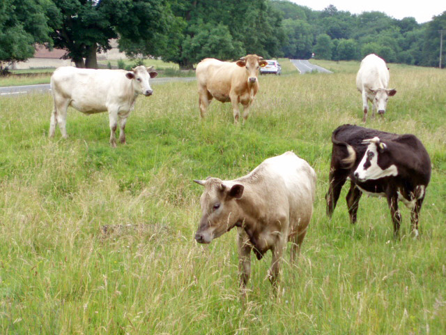
Cows on Selsley Common. With so much land to roam on, these cows have chosen to find pasture perilously close to the B4066. Cattle grids placed a strategic locations prevent the cattle from straying from the commonland.


