Shanklin to Wroxall and Ventnor Railway Walk
![]()
![]() This walk follows the old railway line from Shanklin To Ventnor on the Isle of Wight.
This walk follows the old railway line from Shanklin To Ventnor on the Isle of Wight.
The railway line closed in the 1960s but you can now walk or cycle along a section of the old track from Shanklin to Wroxall. The route provides a fascinating glimpse into the island's industrial and transportation history.
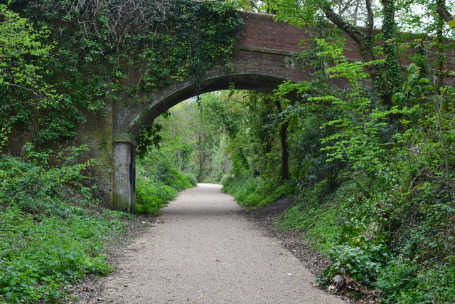
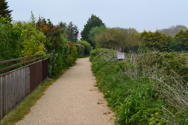
Start the walk from Shanklin Railway Station and head south west past Upper and Lower Hyde to the village of Wroxall. This opening section is known as the Sunshine Trail and is also suitable for cyclists. The tree lined path passes a series of the old railway bridges and also provides some fine countryside views on the more open sections.
The route then heads south to St Boniface Downs on the Ventnor Downs. Here you can enjoy some fantastic views over the area before descending into Ventnor.
For an alternative walk between the two settlements please see the Shanklin to Ventnor Coastal Walk page.
Shanklin to Ventnor Railway Walk Ordnance Survey Map  - view and print off detailed OS map
Shanklin to Ventnor Railway Walk Open Street Map  - view and print off detailed map
Shanklin to Ventnor Railway Walk OS Map  - Mobile GPS OS Map with Location tracking
Shanklin to Ventnor Railway Walk Open Street Map  - Mobile GPS Map with Location tracking
Further Information and Other Local Ideas
On the western side of the route you can pick up the Godshill Walk. This will take you to the 18th century Appuldurcombe House and the delightful village of Godshill with its thatched cottages and ancient church.
Cycle Routes and Walking Routes Nearby
Photos
Shanklin railway station. The line was opened in 1866 and was part of the railway network that served the island for over a century. It was built to connect the seaside towns of Shanklin and Ventnor, which were popular holiday destinations in the Victorian era.
Bridge over dismantled railway. The railway line was notable for its scenic route along the island's southern coast, with stunning views of the English Channel and the surrounding cliffs. The line also featured a number of unique engineering features, such as steep inclines and tunnels, which made it a challenging but exciting journey for passengers.
View From the Sunshine Trail. Despite its popularity, the railway line faced financial difficulties in the mid-20th century, and it was eventually closed in 1966 as part of the Beeching cuts, which saw many of the UK's railway lines closed in an effort to reduce costs. The line was subsequently dismantled and much of the track was removed, although some sections of the line, such as the tunnel at Ventnor, remain intact.
The village of Wroxall. Wroxall has a rich history with many historic buildings and landmarks in the area, including St. John's Church, which dates back to the 12th century. The village is also home to a number of local businesses, including a pub, a post office, and a convenience store, as well as a popular hotel and spa.


