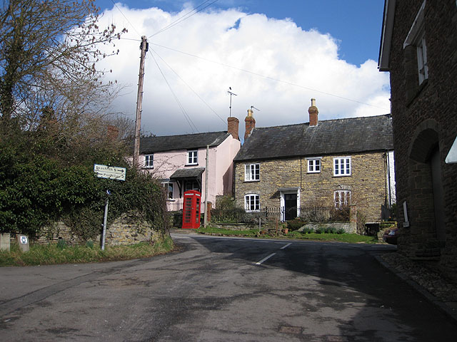
Skenfrith Walk
![]()
![]() This Monmouthshire based village includes a noteworthy old castle and some pleasant trails along the River Monnow. There's also a fine 17th century pub to relax in after your exersise.
This Monmouthshire based village includes a noteworthy old castle and some pleasant trails along the River Monnow. There's also a fine 17th century pub to relax in after your exersise.
This route from the village uses sections of the Three Castles Walk, other public footpaths and minor country lanes to create a circular walk through the surrounding area. On the way you'll visit Skenfrith Castle, Grosmont Castle and enjoy a climb to Edmund's Trump.
The walk starts in the village where you can explore the ruins of the National Trust's Skenfrith Castle. The historic ruins date from the 13th century and are located beside the River Monnow in the village. Here you can pick up the waymarked trail and follow it north towards Garway Mill on the river. The route then heads north west through the countryside and the woodland around High Meadow. You continue towards Grosmont where you cross the Tresenny Brook and arrive at another ruined castle which dates back to the 11th century.
The route then heads south to Graig Syfyrddin where there are some woodland trails and a viewpoint atop Edmund's Trump.
You continue south east following a mixture of footpaths and quiet country lanes towards Wayne Green. Here you can pick up the Three Castles Walk again and follow it east back to the village.
The path can also be followed to the nearby White Castle if you'd like to extend your walk.
Postcode
NP7 8UH - Please note: Postcode may be approximate for some rural locationsSkenfrith Ordnance Survey Map  - view and print off detailed OS map
Skenfrith Open Street Map  - view and print off detailed map
*New* - Walks and Cycle Routes Near Me Map - Waymarked Routes and Mountain Bike Trails>>
Skenfrith OS Map  - Mobile GPS OS Map with Location tracking
Skenfrith Open Street Map  - Mobile GPS Map with Location tracking
Pubs/Cafes
Head to The Bell for some rest and refreshment after your walk. The restaurant here serves high quality food for which it has won many awards including the ‘Best Place to Eat – Pub’ in the Wales National Tourism Awards. There's also the Dog and Boot Bar which is better for muddy walkers and their four legged friends. You can find them at postcode NP7 8UH for your sat navs.
Dog Walking
The woodland and country trails make for a fine dog walk. The Dog and Boot Bar mentioned above is very dog friendly with complimentary biscuits and a doggy shower in the rear garden.
Further Information and Other Local Ideas
If you head north east into Herefordshire you can enjoy a climb to Garway Hill. From the hill's 1200ft (366m) summit there are splendid views over the Bristol Channel into Wales.
Cycle Routes and Walking Routes Nearby
Photos
Curved parapet of Skenfrith Bridge. A three-arch bridge over the River Monnow. The river is flowing downstream to the right.
The Bell at Skenfrith. Once a 17th century coaching inn, the Bell stands by the old stone bridge by the River Monnow.


