Slaidburn Walks
![]()
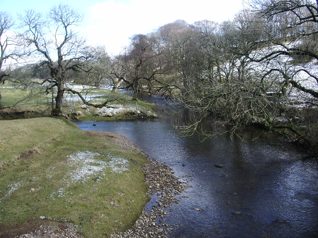
![]() This Lancashire village is located in a pretty area of the Ribble Valley. This walk from the village takes you to some of the highlights of the area including the River Hodder, Stocks Reservoir and Gisburn Forest. There's much to enjoy with riverside trails, woodland paths and wonderful views of the countryside of the Forest of Bowland.
This Lancashire village is located in a pretty area of the Ribble Valley. This walk from the village takes you to some of the highlights of the area including the River Hodder, Stocks Reservoir and Gisburn Forest. There's much to enjoy with riverside trails, woodland paths and wonderful views of the countryside of the Forest of Bowland.
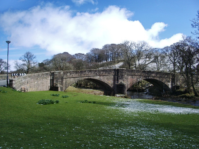
The walk starts in the village where you can pick up the Hodder Way long distance trail. Follow it north along the river and you will pass Holmehead Bridge before coming to Stocks Reservoir. There's a lovely trail running along the eastern side of the water with lovely views of the surrounding hills and woodland. Trails then lead off into the expansive Gisburn Forest, a popular place for cyclists and walkers. You can follow a nice trail along the Bottoms Beck before turning round and returning to the reservoir.
To continue your walking in the area head west from the village to visit the splendid Dunsop Bridge and the hugely popular Trough of Bowland. There's some really beautiful scenery here with challenging climbs and wonderful views.
Slaidburn Ordnance Survey Map  - view and print off detailed OS map
Slaidburn Open Street Map  - view and print off detailed map
Slaidburn OS Map  - Mobile GPS OS Map with Location tracking
Slaidburn Open Street Map  - Mobile GPS Map with Location tracking
Walks near Slaidburn
- Hodder Way - Follow the River Hodder on this stunning waterside walk through the beautiful Forest of Bowland.
The walk begins at Great Mitton and heads north through Whitewell, Newton and Slaidburn before a wonderful section around Stocks Reservoir finishes the route - Stocks Reservoir - Enjoy a waterside circular walk around this lovely reservoir in the Forest of Bowland
- Forest of Bowland Walk - A circular walk around the Forest of Bowland AONB in Lancashire
- Chipping - This attractive Lancashire village is located in a lovely position in the Forest of Bowland
- Gisburn Forest - Enjoy miles of wonderful woodland walking and cycling trails in this large forest in the Forest of Bowland
Pubs/Cafes
Head to the historic Hark to Bounty Inn for some post walk refreshment. The ancient pub is reputed to date back to the 1300s, though most of the existing building dates from the 16th century. They serve good quality pub grub which you can enjoy in the lovely dining area. You can find them at postcode BB7 3EP for your sat navs.
Dog Walking
The woodland and country trails are ideal for dog walking. The Hark to Bounty mentioned above is also dog friendly.
Further Information and Other Local Ideas
For more walking ideas in the area see the Ribble Valley Walks and the Forest of Bowland Walks pages.
Photos
Entering Slaidburn from the East. Following the B6478 from Slaidburn Bridge that spans the River Hodder, and entering the small town towards the War Memorial.


