Slieve Binnian Walk
![]() This challenging loop walk climbs to Slieve Binnian in the Mourne Mountains.
This challenging loop walk climbs to Slieve Binnian in the Mourne Mountains.
The walk starts from the Carrick Little car park at 74 Oldtown Road, Annalong, Newry. From here you can pick up the trails heading north past Annalong Wood to Percy Bysshe.
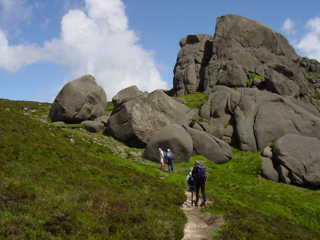
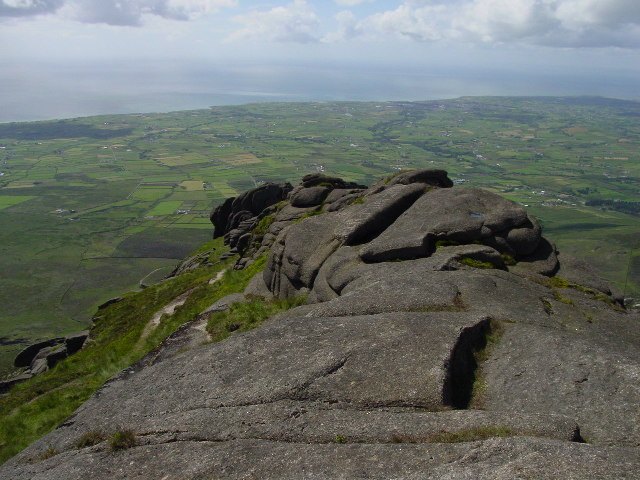
You continue past the Blue Lough with fine views down to the Ben Crom Reservoir which lies to the north. You then turn south to climb to the north top which stands at a height of 678 metres. The route continues south to climb to the Binnian summit which stands at 746 metres. There are some interesting granite tors and wonderful far reaching views over the Mournes from here.
You then head south east, passing the East Top before retracing your steps to the car park.
An alternative route to the top climbs past Wee Binnian.
Postcode
BT34 4RW - Please note: Postcode may be approximate for some rural locationsSlieve Binnian Open Street Map  - view and print off detailed map
*New* - Walks and Cycle Routes Near Me Map - Waymarked Routes and Mountain Bike Trails>>
Slieve Binnian Open Street Map  - Mobile GPS Map with Location tracking
Further Information and Other Local Ideas
Head north east and you could enjoy another climb to the popular Slieve Donard, the highest peak in Northern Ireland.
Cycle Routes and Walking Routes Nearby
Photos
Mourne Wall near Annalong Wood. The Mourne Wall running from near Carrick Little towards Annalong Wood with Long Seefin in the background. The wall does appear to have been built in different sections, with some areas of a much higher standard of construction than others. The author Paddy Dillon has written an excellent book on walking in the Mournes ('The Mournes: Walks' by Paddy Dillon published by O'Brien Press, ISBN: 086278896X) and his map of the Mourne Wall walk would seem to concur that this section leading from Carrick Little carpark to Slieve Binnian is indeed rightly attributed as the 'Mourne Wall'. Dillon also offers the following brief notes on the wall itself: "The course of the Mourne Wall on either side of the Silent Valley is disappointing, and in places it seems to be a haphazard construction. The truly 'classic' proportions of the wall are found northwards of Carn Mountain and Long Seefin, and there are some particularly stout sections on Slieve Corragh and the Bog of Donard."
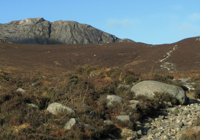
Path by Annalong Wood. Walking on the path from Carrick Little towards Ben Crom reservoir. The western edge of Annalong Wood is on the right. Slievelamagan is directly ahead.
Granite boulders on North Tor. North Tor forms the northern spur to Slieve Binnian and has several granite tors


