GPS Cycle and Walking Routescycle iconwalk icon

Soar Mill Cove Walk

1.9 miles (3 km)

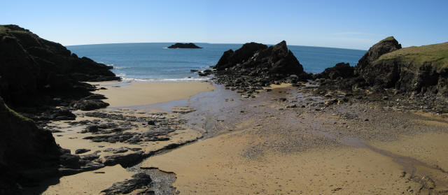
Ordnance Survey Map Open Streetmap This circular walk explores the beautiful Soar Mill Cove on the Devon Coast.
This walk starts from the public car park at the Soar Mill Cove Hotel. From here you can pick up footpaths heading west to to the picturesque cove and the secluded sandy beach.
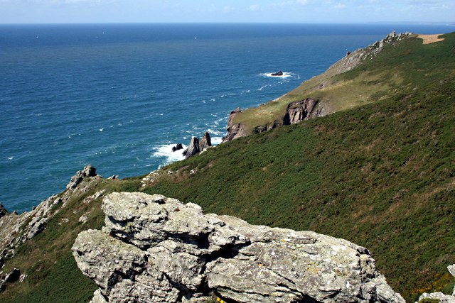
The route then picks up the South West Coast Path and follows it east along the cliff top path towards Steeple Cove. Here you pick up footpaths heading inland to return to the hotel. This last section exposes you to some lovely countryside views. Back at the hotel you could enjoy a delicious cream tea after your exercise.
To continue your walking in the area head west to visit Bolberry Down. The National Trust owned area is a great place for a walk with some wonderful views to Burgh Island and Bigbury on Sea.

Postcode

TQ7 3DS - Please note: Postcode may be approximate for some rural locations

Soar Mill Cove OS Map Ordnance survey map - Mobile GPS OS Map with Location tracking

Soar Mill Cove Open Street Map Open Streetmap - Mobile GPS Map with Location tracking

Photos

Soar Mill Cove - geograph.org.uk - 1934127

Soar Mill Cove

Soar Mill Cove - geograph.org.uk - 1422616

Soar Mill Cove

Malborough, Soar Mill Cove - geograph.org.uk - 491415

Malborough, Soar Mill Cove

Panorama of Soar Mill Cove - geograph.org.uk - 373103

Panorama of Soar Mill Cove

Looking North West from Goat Rock - geograph.org.uk - 1421227

Looking North West from Goat Rock

Footpath to Malborough - geograph.org.uk - 2278371

Footpath to Malborough

Footpath to Soar - geograph.org.uk - 2278359

Footpath to Soar

West Soar - geograph.org.uk - 2278181

West Soar

Video

GPS Files

GPX File

Soar Mill Cove.gpx (On Desktop:Right Click>Save As. On Ipad/Iphone:Click and hold>Download Linked File)