Solomon's Temple Circular Walk
![]()
![]() This circular walk climbs to a splendid viewpoint and folly in Buxton Country Park in Derbyshire.
This circular walk climbs to a splendid viewpoint and folly in Buxton Country Park in Derbyshire.
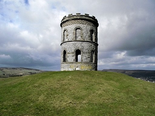
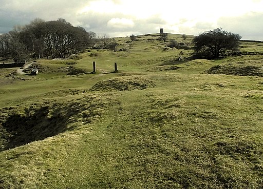
The distinctive Grade II listed Victorian folly is located atop the summit of Grin Low hill at the south eastern corner of the park. You can start the walk from the car park just off the Grin Low Road and then follow footpaths east to the tower. Here you can climb to the top of the folly and enjoy some wonderful views over Buxton to the surrounding Peak District hills.
After taking in the views you can descend on alternative paths to turn it into a short circular walk.
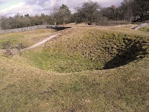
On the route you will pass other interesting features including the old Grin Low Quarry and Lime Kilns.
Part of the route uses a section of the Dane Valley Way, a waymarked long distance trail you can use to extend your outing. Following it west would take you onto Axe Edge Moor where you can climb to Cheeks Hill and visit the ancient packhorse bridge at Three Shires Head.
In the park you could also visit the atmospheric Poole's Cavern where you can explore the splendid underground limestone caverns.
Postcode
SK17 9DH - Please note: Postcode may be approximate for some rural locationsSolomon's Temple Ordnance Survey Map  - view and print off detailed OS map
Solomon's Temple Open Street Map  - view and print off detailed map
*New* - Walks and Cycle Routes Near Me Map - Waymarked Routes and Mountain Bike Trails>>
Solomon's Temple OS Map  - Mobile GPS OS Map with Location tracking
Solomon's Temple Open Street Map  - Mobile GPS Map with Location tracking
Cycle Routes and Walking Routes Nearby
Photos
Solomon's Temple. The structure is a 20-foot-high (6.1 m), two-storey tower built on top of a Bronze Age barrow, sitting on top of a ridge at a height of 440 metres (1,440 ft) above sea level. From the open top of the tower there are good 360-degree views over the town and the surrounding countryside and parts of the Peak District.
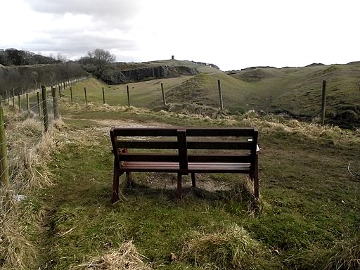
Grin Low Quarry. Originally created for the purpose of crating lime, in succession to the smaller scale workings still to be seen on the surrounding hillsides. Operations ceased in the 1950s, but were restarted in 1967 for the extraction of roadstone. This however was short lived due to local protests, ceasing in 1972. The quarry floor now houses a large caravan park and the car park for Buxton Country Park and Grin Low.


