Southport Walks
![]()
![]() The seaside town of Southport has some lovely coastal trails to try. This walk uses the Sefton Coastal Footpath and the Trans Pennine Trail to take you to some of the beautiful local nature reserves. The walk starts on the promenade next to the large marine lake. Head south along the front, passing the noteworthy pier, which is the the second longest seaside pleasure pier in the British Isles.
The seaside town of Southport has some lovely coastal trails to try. This walk uses the Sefton Coastal Footpath and the Trans Pennine Trail to take you to some of the beautiful local nature reserves. The walk starts on the promenade next to the large marine lake. Head south along the front, passing the noteworthy pier, which is the the second longest seaside pleasure pier in the British Isles.
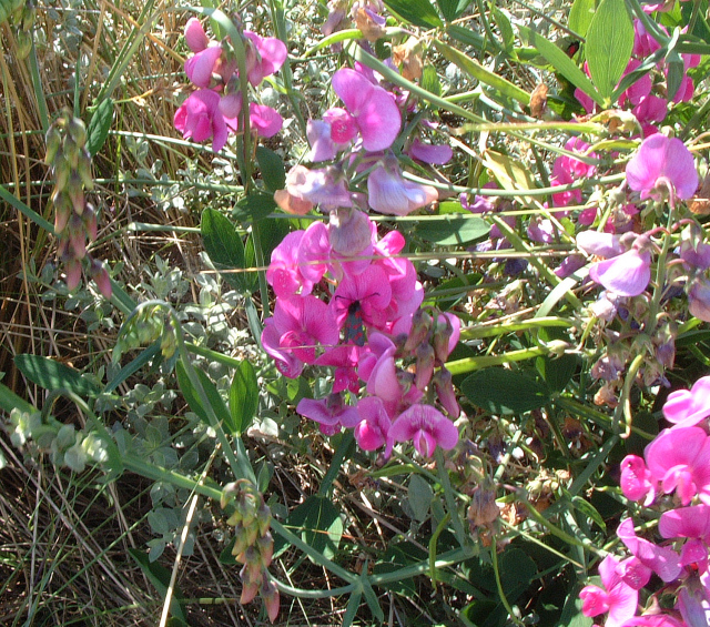
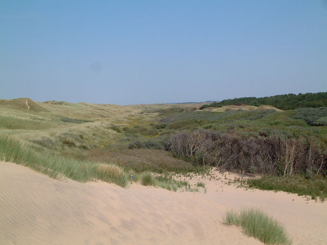
You continue past the famous Royal Birkdale golf club, which has hosted the Open Championship on numerous occasions. Shortly after you come to the Ainsdale Sands National Nature Reserve. There's a wonderful sand dune system here with Natterjack Toads to look out for on the way through. Look out for flora including Early-marsh Orchid, Marsh Helleborine and Grass of Parnassus.
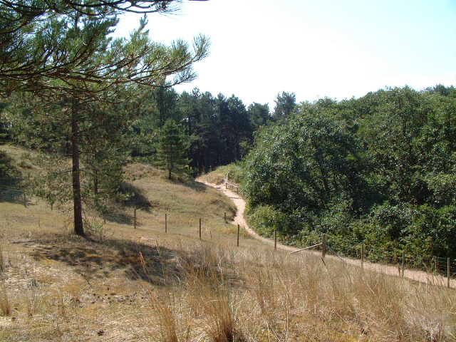
The route continues to Formby Beach where there are some huge dunes to climb. From the high points there's wonderful views towards Liverpool and the Welsh Mountains. There's also a woodland area where you can look out for red squirrels.
After exploring the reserve the route turns inland to pass through the town of Formby and finish at the train station. Here you can catch a train directly back to Southport.
The town is located on the Ribble Estuary which is a great place for birdwatching. Our Ribble Estuary Walk takes place in the town of Lytham on the other side of the water. There's nice views over the estuary back to Southport from here.
The Marton Mere and Mere Sands Wood Nature Reserves are very near the town too. They both offer lovely nature trails with wonderful wildlife spotting opportunities.
Southport Ordnance Survey Map  - view and print off detailed OS map
Southport Open Street Map  - view and print off detailed map
Southport OS Map  - Mobile GPS OS Map with Location tracking
Southport Open Street Map  - Mobile GPS Map with Location tracking
Further Information and Other Local Ideas
Head a few miles inland and you could visit nearby Ormskirk. The market town is well worthy of a visit with pleasant conservation areas, a regular market, three local parks and a church which dates back to the 15th century.
To the north east is Hesketh Bank where you can explore the RSPB's Hesketh Out Marshes Nature Reserve. The reserve is a great place for bird spotting on the Ribble Estuary.
For more walking ideas in the area see the Merseyside Walks page.


