St Austell Coastal Circular Walk
![]()
![]() This interesting Cornish town has some nice river trails and is a short walk from the coast and the beautiful St Austell Bay. It's a popular place to visit with local walking highlights including the stunning Lost Gardens of Heligan and the wonderful botanical gardens at the Eden Project. In the town itself the Pinetum Gardens are a lovely place for an easy stroll. The 30-acre garden is home to one of the largest plant collections in the county.
This interesting Cornish town has some nice river trails and is a short walk from the coast and the beautiful St Austell Bay. It's a popular place to visit with local walking highlights including the stunning Lost Gardens of Heligan and the wonderful botanical gardens at the Eden Project. In the town itself the Pinetum Gardens are a lovely place for an easy stroll. The 30-acre garden is home to one of the largest plant collections in the county.
This circular walk from the town takes you to the coast at St Austell Bay before heading to the Ropehaven Cliffs and Black Head.
The walk starts on the southern end of the town where you can pick up footpaths and country lanes heading to the coast at Carrickowel Point. The route then picks up the South West Coast Path and follows the waymarked trail south past Porth Pean beach to the Ropehaven Cliffs Nature Reserve. There's some coastal woodland here and good birdwatching opportunities including fulmar, who lay their eggs on rocky cliff ledges.
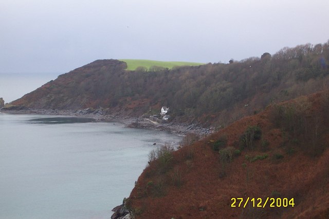
You can then follow paths round the headland at Black Head, passing Gerrans Point and Drennick before coming to Trenarren. From here you head north past Castle Gotha to Higher and Lower Porthpean. The route then retraces its steps to return you to St Austell.
St Austell Ordnance Survey Map  - view and print off detailed OS map
St Austell Open Street Map  - view and print off detailed map
*New* - Walks and Cycle Routes Near Me Map - Waymarked Routes and Mountain Bike Trails>>
St Austell OS Map  - Mobile GPS OS Map with Location tracking
St Austell Open Street Map  - Mobile GPS Map with Location tracking
Pubs/Cafes
The Holme Bush Inn is a nice place for some post walk refreshments back in the town. They have a lovely beer garden and conservatory, ideal for the summer months. The friendly pub also does good food and can be found at postcode PL25 3LL for your sat navs.
Dog Walking
The coastal and country trails are ideal for a bracing dog walk. The Holme Bush Inn mentioned above is also very dog friendly.
Further Information and Other Local Ideas
To continue your walking near St Austell you could pick up the Pentewan Trail. This shared cycling and walking trail will take you along a disused railway line to Mevagissey, passing the splendid Lost Gardens of Heligan on the way.
A few miles to the west you'll find the little village of Ladock and Ladock Woods. It's a serene place with woodland paths and some nice views of the Tresillian River in the village. Ladock also includes a 17th century pub which is worthy of some investigation.
Just a couple of miles north east of the town is the splendid Luxulyan Valley, a designated World Heritage Site. The valley is one of the highlights of the area with nice trails along the River Par, a series of historical industrial remains and the impressive Treffry Viaduct to see.
Just to the west there's the Tregargus Valley where you can enjoy woodland walks along the River Fal. There's also interesting industrial history with a series of old mine buildings and the old China Clay Works at Goonvean Quarry.
Just to the south there's the delightful Charlestown with its Georgian buildings, picturesque harbour and historic tall ships. It's a fine place for a stroll with excellent views over St Austell Bay and a splendid harbourside pub to visit.
For more walking ideas in the area see the Cornwall Walks page.
Cycle Routes and Walking Routes Nearby
Photos
High Cross Street, St Austell. A view over the town to the surrounding countryside from this elevated point in the town.
Sundial sculpture, Park, St Austell. The small park, which contains recovered gravestones arranged around its perimeters, also contains a sundial sculpture as a focal point. The beech tree trunk obscures a group of people. The white dog was waiting for instructions from its master. Long afternoon shadows reach across the park in the late January afternoon, but the days are starting to lengthen a little.
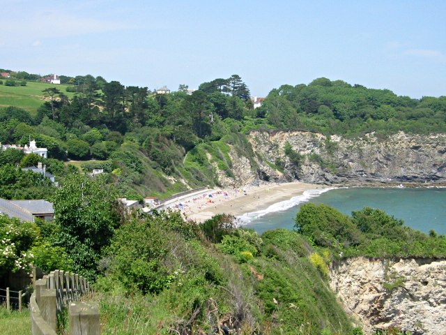
Porthpean. Porthpean Beach is a warm easterly facing cove sheltered on three sides and popular with holidaymakers.
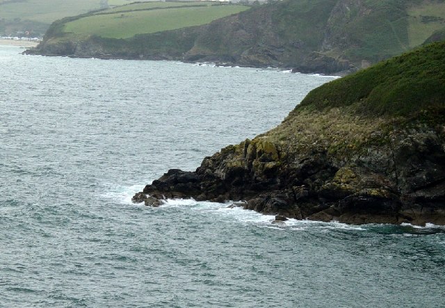
A glimpse of the coast Northerly view towards Carrickowel Point and St Austell Bay. The bay lies southeast of the town and stretches along the coast from Charlestown in the north to Black Head in the south. There's some lovely beaches which are popular with watersports enthusiasts.


