St Margaret's Bay to Deal Walk
![]()
![]() Enjoy a lovely stretch of the Kent coast on this walk from St Margaret's Bay to Deal. It's just over 5 miles to the town from the pretty bay, passing over cliff tops with fine views throughout.
Enjoy a lovely stretch of the Kent coast on this walk from St Margaret's Bay to Deal. It's just over 5 miles to the town from the pretty bay, passing over cliff tops with fine views throughout.
The walk start from St Margaret's Bay in the little village of St. Margaret's at Cliffe. There's a good sized car park on the sea front with a little cafe and a nice beach. Just a short walk up Bay Hill from the front you will find the noteworthy Pines Gardens. The gardens include a waterfall, lake, a grass labyrinth and an organic kitchen garden with around 40 different species of fruit and vegetables. The site also includes the St. Margaret's Museum with interesting local history displays such as St Margaret's during WW2, and one-time resident Noel Coward.
From the car park you climb onto the cliffs to the north where you will pass the Dover Patrol monument. The obelisk commemorates the Royal Navy's Dover Patrol of the First World War.
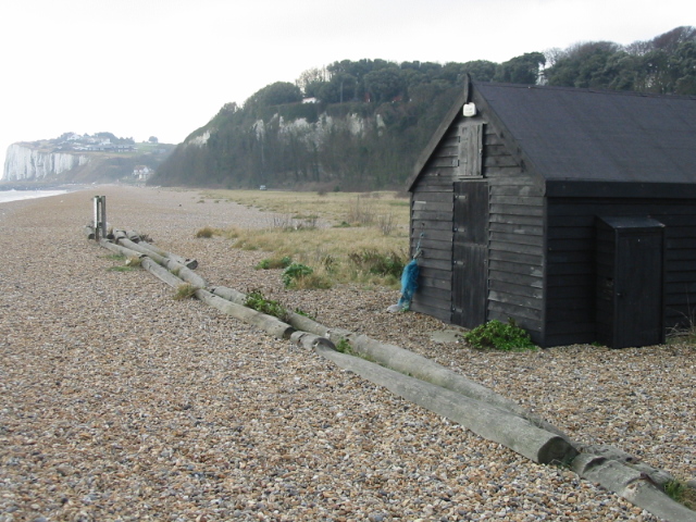
The route continues north along a lovely cliff top path which is covered in wildlfowers and butterflies in the summer months. You then descend to the attractive area of Kingsdown with its pretty cottages, beach and popular seafront pub.
The next stage takes you to Walmer where you will pass the impressive Walmer Castle. It was built during the reign of King Henry VIII and includes lovely 8 acre gardens and fascinating exhibitions.
Shortly after you come into the popular town of Deal, finishing at the pier.
This walk uses part of the long distance Saxon Shore Way so you could extend your exercise on the path. The longer Dover to Deal Walk will take you all the way to Dover Castle and the famous White Cliffs.
St Margaret's Bay to Deal Walk Ordnance Survey Map  - view and print off detailed OS map
St Margaret's Bay to Deal Walk Open Street Map  - view and print off detailed map
St Margaret's Bay to Deal Walk OS Map  - Mobile GPS OS Map with Location tracking
St Margaret's Bay to Deal Walk Open Street Map  - Mobile GPS Map with Location tracking
Pubs/Cafes
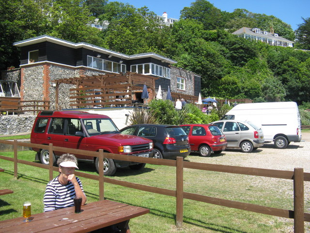
The popular Zetland Arms is located in a fine spot right next to the beach in Kingsdown. They serve excellent sea food and have a patio where you can relax and enjoy lovely sea views with your refreshments. Postcode for sat navs is PR9 0RH.
Further Information and Other Local Ideas
The Kingsdown to St Margaret's Bay Walk starts from the Zetland Arms pub and uses the coast path and an inland bridleway to create an alternative circular walk through the area.


