Stanmer Park Walks
![]()
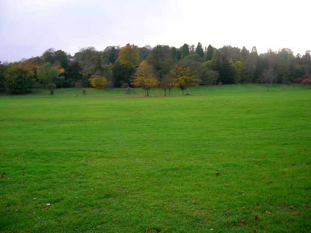
![]() Enjoy beautiful woodland walks and extensive open lands in this country park in Brighton. There's a number of footpaths to follow around the park which includes the village of Stanmer, Stanmer House and Stanmer Church. These would once have formed the estate of Stanmer House which is a Grade I listed 18th century Palladian building. You can sometimes pick up guided walks around the extensive woods where you can look out for bats and other wildlife.
Enjoy beautiful woodland walks and extensive open lands in this country park in Brighton. There's a number of footpaths to follow around the park which includes the village of Stanmer, Stanmer House and Stanmer Church. These would once have formed the estate of Stanmer House which is a Grade I listed 18th century Palladian building. You can sometimes pick up guided walks around the extensive woods where you can look out for bats and other wildlife.
Located on the beautiful South Downs it's easy to extend your walk after you have explored the park. You could pick up the South Downs Way and enjoy a climb to the nearby Ditchling Beacon for great views over the area.
Postcode
BN1 9SE - Please note: Postcode may be approximate for some rural locationsPlease click here for more information
Stanmer Country Park Ordnance Survey Map  - view and print off detailed OS map
Stanmer Country Park Open Street Map  - view and print off detailed map
Stanmer Country Park OS Map  - Mobile GPS OS Map with Location tracking
Stanmer Country Park Open Street Map  - Mobile GPS Map with Location tracking
Further Information and Other Local Ideas
The Falmer to Lewes Walk starts from nearby Falmer and will take you up to the lovely ridge top walk at Blackcap. There's some fascinating ancient sites, pretty wildflowers, a variety of butterflies and tremendous views over the Weald from here. Falmer itself is also very attractive with its 17th century church, large pond and green which is ideal for picnics.
Cycle Routes and Walking Routes Nearby
Photos
Stanmer House, Stanmer Park, Brighton. Built between 1722 and 1727 for the Pelham family (Earls of Chichester); extended in 1860. Listed at Grade I by English Heritage


