Staveley Cumbria Walk
![]()
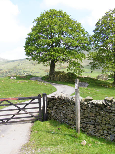
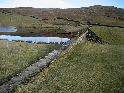
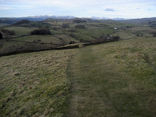
![]() A circular walk around the Cumbrian village of Staveley. The walk climbs to the pretty Potter Tarn and includes a waterside stretch along the River Kent. From the high points there are wonderful views across the Kentmere Valley.
A circular walk around the Cumbrian village of Staveley. The walk climbs to the pretty Potter Tarn and includes a waterside stretch along the River Kent. From the high points there are wonderful views across the Kentmere Valley.
The village is very accessible with a train station which can be easily reached from nearby Windermere and Kendal.
The walk starts from Staveley train station and head through the village where you cross the river. You then follow a mixture of footpaths and country lanes up to Potter Tarn. Here you have the option of extending the walk by continuing east to Gurnal Dubs Tarn which is less than half a mile away.
From Potter Tarn you descend south to Hundhowe, passing Ghyll Pool on the way. Head west and you will soon meet with the Dales Way long distance trail on the River Kent. Follow the trail west past Belmickle Ing and you will soon return to the village and the train station.
To continue your walking in the Kentmere valley you could head north and try the popular Kentmere Horseshoe. The challenging circuit provides wonderful views of several lakes, the surrounding Lakeland fells, the Pennine Hills and the Lancashire coast. Highlights on the route include the climb to Yoke and Ill Bell with fine views down to the Kentmere Reservoir.
You could also continue along the Dales Way and the river by heading south to Cowan Head, Burneside and Kendal. Heading west will take you to Windermere.
Staveley Cumbria Ordnance Survey Map  - view and print off detailed OS map
Staveley Cumbria Open Street Map  - view and print off detailed map
Staveley Cumbria OS Map  - Mobile GPS OS Map with Location tracking
Staveley Cumbria Open Street Map  - Mobile GPS Map with Location tracking
Pubs/Cafes
Head to the Eagle and Child for some post walk refreshment. The inn serves high quality dishes which you can enjoy with a river view in the lovely large garden area. You can find them on the Kendal Road, at postcode LA8 9LP for your sat navs.
Dog Walking
The country trails make for a fine dog walk and the Eagle and Child mentioned above is also dog friendly.
Further Information and Other Local Ideas
Head north along the River Kent and you could visit the village of Kentmere and the lovely Kentmere Tarn and Kentmere Reservoir.
For more walking ideas in the area see the Lake District Walks page.


