Steart Marshes Walks
![]()
![]() This circular walk explores the Steart Marshes area of the Bridgwater Bay National Nature Reserve on the Somerset coast. The area is a great for wildlife watching with otters, egrets, owls waders and a variety of wildfowl to look out for on the River Parrett Estuary.
This circular walk explores the Steart Marshes area of the Bridgwater Bay National Nature Reserve on the Somerset coast. The area is a great for wildlife watching with otters, egrets, owls waders and a variety of wildfowl to look out for on the River Parrett Estuary.
You can start the walk from the reserve car park where you can pick up a section of the River Parret Trail. Follow the waymarked trail south through the marshes before picking up an alternative country lane to the west.
You can extend the walk by heading north east to visit Stert Point where there are lovely views across the Stert Flats.
The Stert Drove runs through the Marsh. This minor road is good for both cycling and walking through the area.
Postcode
TA5 2PU - Please note: Postcode may be approximate for some rural locationsSteart Marshes Ordnance Survey Map  - view and print off detailed OS map
Steart Marshes Open Street Map  - view and print off detailed map
Steart Marshes OS Map  - Mobile GPS OS Map with Location tracking
Steart Marshes Open Street Map  - Mobile GPS Map with Location tracking
Cycle Routes and Walking Routes Nearby
Photos
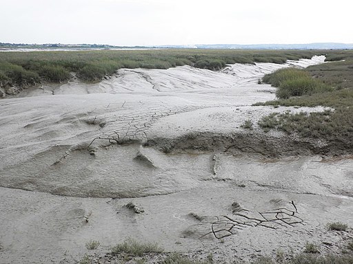
Tidal creek, Parrett Estuary. The Steart peninsula consists largely of low-lying flat farmland, and projects northwards on the west side of Stockland Reach, the lower stretches of the estuary of the River Parrett.
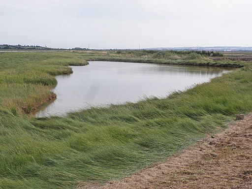
Pond on Steart Peninsula. The reserve is the result of a flood management project, which involved a breach in the sea wall to permit seawater to enter the salt marsh from the tidal River Parrett.
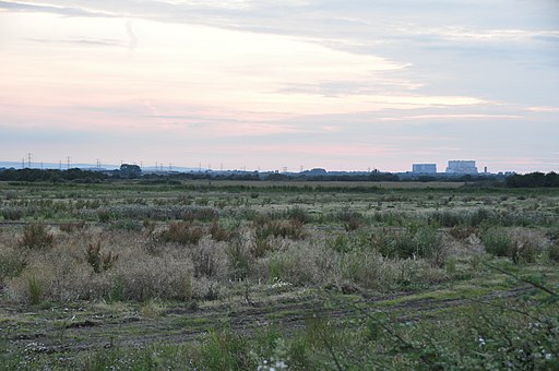
St Andrews Church, Steart. The main settlement on the peninsula is the village of Steart, but two other villages, Stockland Bristol and Otterhampton sit at the peninsula's base.


