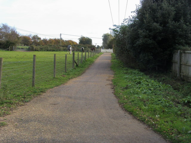
Stenbury Trail
![]()
![]() This trail follows bridleways along the river valley from Newport, passing Appuldurcombe, Stenbury and Week Downs before finishing at the delightful Ventnor botanic gardens on the coast. The walk involves a decent climb but you are rewarded with fabulous views of the island and coast.
This trail follows bridleways along the river valley from Newport, passing Appuldurcombe, Stenbury and Week Downs before finishing at the delightful Ventnor botanic gardens on the coast. The walk involves a decent climb but you are rewarded with fabulous views of the island and coast.
Highlights include the thatched cottages in the pretty village of Godshill and the English Heritage owned Appuldurcombe House.
Stenbury Trail Ordnance Survey Map  - view and print off detailed OS map
Stenbury Trail Open Street Map  - view and print off detailed map
Stenbury Trail OS Map  - Mobile GPS OS Map with Location tracking
Stenbury Trail Open Street Map  - Mobile GPS Map with Location tracking
Pubs/Cafes
In Godshill you can enjoy a pit stop at The Taverners. The ancient inn dates to the 17th century and includes a charming old interior with oak beams, flagstone flooring and open fireplaces. They sell good quality food and also have a garden to sit out in. You can find them at postcode PO38 3HZ for your sat navs. The pub is dog friendly in the bar area. The village is also worth exploring with its thatched cottages and ancient church.
Further Information and Other Local Ideas
On the north western outskirts of Newport you'll find the expansive Parkhurst Forest. The forest is criss crossed with miles of good walking and cycling trails and a fine place to extend your outing. It's also great for wildlife spotting with the resident red squirrels of particular note.
The Ventnor to Steephill Cove Walk uses a section of the trail in the Ventnor area. It takes you to a popular little cove with kiosks, self catering cottages and a beach. The circular walk also visits the splendid Ventnor Botanical Gardens where you can enjoy a variety of Mediterranean plants and flowers.
For more walking ideas in the area see the Isle of Wight Walks page.
Cycle Routes and Walking Routes Nearby
Photos
Dual cabbageways near NCN23. The minor land followed by National Cycle Route 23 is on the left. It is also used by the Stenbury Trail, one of a mosaic of marked footpath routes on the Isle Of Wight. The crops, pairs of lines, are just starting to show through? What are they? I hope they are cabbages then children looking at this picture can call them "dual cabbageways".
Stenbury Down. At the point where a track ascending from the valley floor meets the bridleway that runs along the ridge of the Downs. The track is a maintenance road for the two sets of masts at the summit of the downs. The bridleway continues south to Ventnor.
Elevation Profile


