Strathkelvin Railway Path
![]()
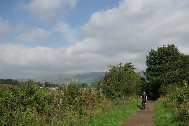
![]() The Strathkelvin Railway Path is a popular cycling and walking trail running along a disused railway line from Glenboig to Strathblane.
The Strathkelvin Railway Path is a popular cycling and walking trail running along a disused railway line from Glenboig to Strathblane.
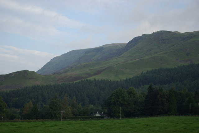
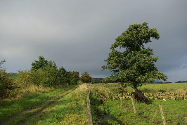
It's a beautiful area with fine views to the Campsie Fells and the Strathblane Hills as you make your way along the surfaced trail.
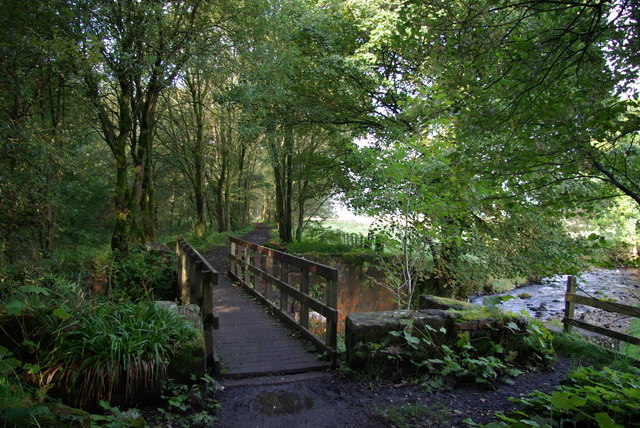
The trail starts in Glenboig and heads north west, passing the Garnqueen Loch. You continue past Chryston before coming into Kirkintilloch where you cross the river. The trail heads north through Milton of Campsie, where there is a nice section along Glazert Water.
Here you turn north west through Lennoxtown passing the Campsie Glen before coming into Strathblane. This section follows the route of the Campsie Branch of the Edinburgh and Glasgow Railway which was extended as the Blane Valley Railway line and closed in 1951.
Strathkelvin Railway Path Ordnance Survey Map  - view and print off detailed OS map
Strathkelvin Railway Path Open Street Map  - view and print off detailed map
Strathkelvin Railway Path OS Map  - Mobile GPS OS Map with Location tracking
Strathkelvin Railway Path Open Street Map  - Mobile GPS Map with Location tracking
Further Information and Other Local Ideas
There are plans to extend the route to the south to the nearby Drumpellier Country Park. The park is well worth a visit with 500 acres of lowland heath, mixed woodlands, lochs, open grassland and the Monkland Canal to see.
Just south of Strathblane you could extend your outing by visiting Mugdock Country Park. Here you can enjoy trails along Mugdock Reservoir, Dumbrock Loch, through Mugdock Wood, along Allander Water and past Mugdock Loch. Also south of the end point there's the pretty Loch Ardinning. The small loch is owned by the Scottish Wildlife Trust and is a great place for easy walks and wildlife spotting.
The route passes just to the south of Campsie Glen around Lennoxtown. It's worth stopping here to explore the peaceful glen with its streams and waterfalls.
The picturesque Bardowie Loch and Hogganfield Loch are also not far from the trail.


