Sundon Hills Country Park
![]()
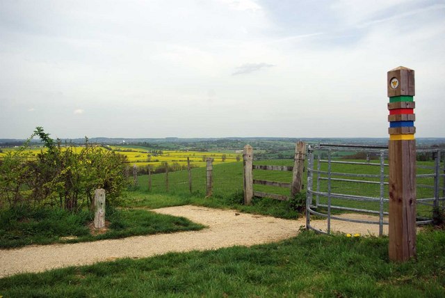
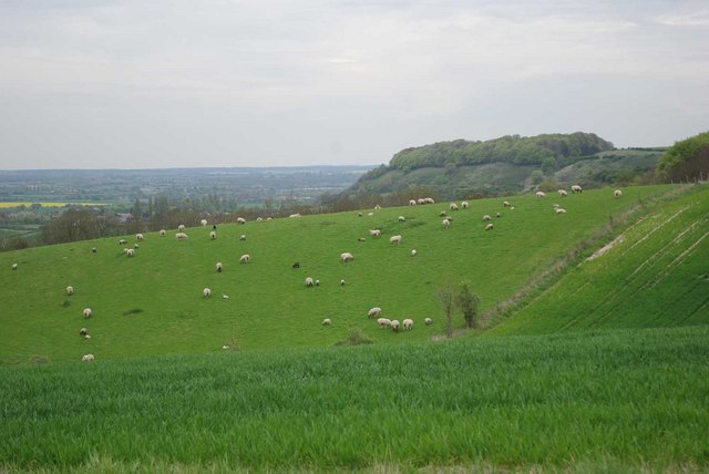
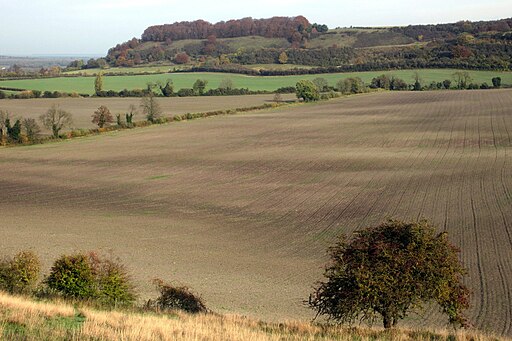
![]() Climb to a height of over 500 feet and enjoy wonderful views over the Bedfordshire countryside on this circular walk near Luton. You can park at the car park on Harlington Road and then pick up the Icknield Way Path to take you across the park. The waymarked paths take you to woodland, chalk downland and grassland. It's great in the summer with lots of wildflowers and butterflies to look out for on the hills. Keep your eyes peeled for a range of flora and fauna including creeping buttercup, cowslip, orchids, great spotted woodpecker, foxes and badgers.
Climb to a height of over 500 feet and enjoy wonderful views over the Bedfordshire countryside on this circular walk near Luton. You can park at the car park on Harlington Road and then pick up the Icknield Way Path to take you across the park. The waymarked paths take you to woodland, chalk downland and grassland. It's great in the summer with lots of wildflowers and butterflies to look out for on the hills. Keep your eyes peeled for a range of flora and fauna including creeping buttercup, cowslip, orchids, great spotted woodpecker, foxes and badgers.
To extend your walk you can follow the John Bunyan Trail and the Icknield Way Path to Streatley. The path passes Sharpenhoe Clappers, Smithcombe Valley and Smithcombe Hill before coming to the village. Sharpenhoe has an Iron Age Hillfort and nice views over the area.
If you continue east along the paths then you will come to the lovely Barton Hills National Nature Reserve and Hexton where you can enjoy more climbs through the Barton and Pegsdon Hills. Heading west will take you through the countryside to Toddington where there's a fine 700 year old pub to visit. You can also follow the John Bunyan Trail south to Luton.
Postcode
LU3 3PQ - Please note: Postcode may be approximate for some rural locationsSundon Hills Country Park Ordnance Survey Map  - view and print off detailed OS map
Sundon Hills Country Park Open Street Map  - view and print off detailed map
*New* - Walks and Cycle Routes Near Me Map - Waymarked Routes and Mountain Bike Trails>>
Sundon Hills Country Park OS Map  - Mobile GPS OS Map with Location tracking
Sundon Hills Country Park Open Street Map  - Mobile GPS Map with Location tracking
Explore the Area with Google Street View 
Pubs/Cafes
Just over a mile north east of the park you'll find the village of Barton le Clay where there are a few good options for refreshments. The 19th century Royal Oak has good facilites with a car park and a lovely garden area to relax in on warmer days. There's also a good menu and fine selection of real ales. Highly recommended are their delicious pizzas! You can find the pub on the Bedford Road with postcode of MK45 4JX for your sat navs.
Dog Walking
The park is a great place for dog walking so you're bound to see other pets on your visit. There are fields with sheep so it's best to keep them on leads in these areas. The Royal Oak pub mentioned above is also dog friendly.
Further Information and Other Local Ideas
The circular Luton Walk runs close to the park. It takes you along a section of the River Lea and also heads to Barton Hills and the nearby Sharpenhoe Clappers using some of the waymarked trails running through the area. It's a nice way of visiting the park from the town's train station.
Just to the north east there's Silsoe where you can enjoy easy trails around Wrest Park. There's 92 acres of landscaped early eighteenth-century gardens to explore here. You can also enjoy a pleasant stroll around Silsoe village where there are a number of historic properties associated with the park estate.
For more walking ideas in the area see the Bedfordshire Walks and Chilterns Walks pages.


