Tandridge Border Path
![]()
![]() This long distance circular walk explores the Tandridge District of Surrey. The route runs for just over 50 miles, visiting parks, lakes and a series of pretty villages.
This long distance circular walk explores the Tandridge District of Surrey. The route runs for just over 50 miles, visiting parks, lakes and a series of pretty villages.
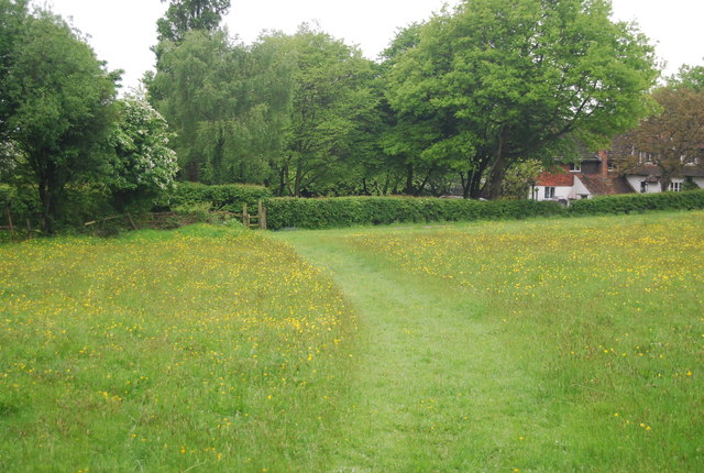
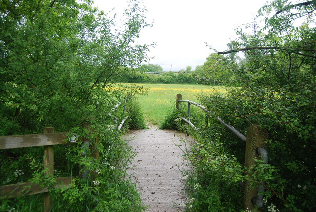
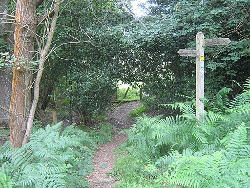
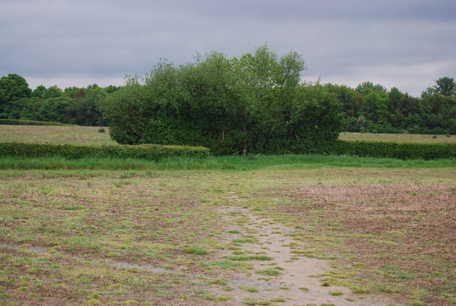
On the way there's some lovely views of the surrounding Surrey Hills countryside. As a circular walk you can start from any point along the route. The one in the map below starts from the car park at Mercers Country Park where there is a pleasant lakeside trail. The route links up with the Sussex Border Path around East Grinstead. In this area you will also pass along Hedgecourt Lake where there are some good wildlife spotting opportunities.
Tandridge Border Path Ordnance Survey Map  - view and print off detailed OS map
Tandridge Border Path Open Street Map  - view and print off detailed map
Tandridge Border Path OS Map  - Mobile GPS OS Map with Location tracking
Tandridge Border Path Open Street Map  - Mobile GPS Map with Location tracking
Cycle Routes and Walking Routes Nearby
Photos
Haxted Mill and artist at work. The Tandridge Border Path is a 50 mile route which goes where the name suggests. Two mills, a viaduct and lake are just some of the sights to be seen on the route.


