Tapton Lock Walk
![]()
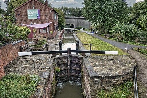
![]() This walk visits the Tapton Lock Visitor Centre on the Chesterfield Canal in Chesterfield.
This walk visits the Tapton Lock Visitor Centre on the Chesterfield Canal in Chesterfield.
The centre is the only Visitor Centre on the Canal and includes a wealth of information with Maps, Leaflets, Books, Crafts and refreshments.
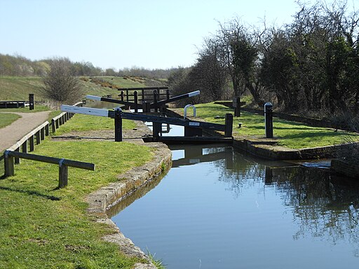
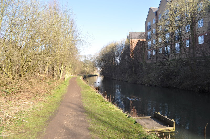
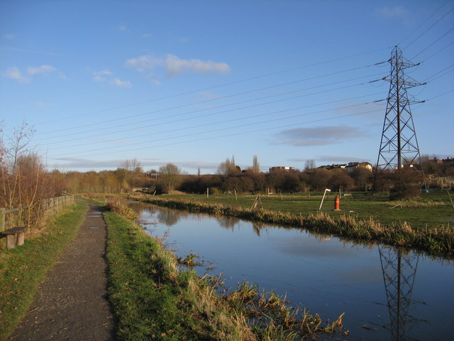
This walk from the centre takes you north and then west towards Staveley and the Bluebank Pools Nature Reserve. On the way there's a series of pretty locks and some fine views of the surrounding countryside.
Look out for lots of wildlife in the Bluebank Pools area towards the end of the walk. Here you can see water voles and grass snakes and maybe a kingfisher if you are lucky. The reserve's unusual habitat includes oxbow pools, created when the River Rother was straightened to build the Great Central Railway.
You could extend the walk by heading south of the canal to visit the lakes at Poolsbrook Country Park.


