Loch Fyne and Tarbert Castle Walk
![]()
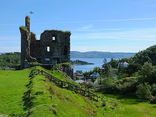
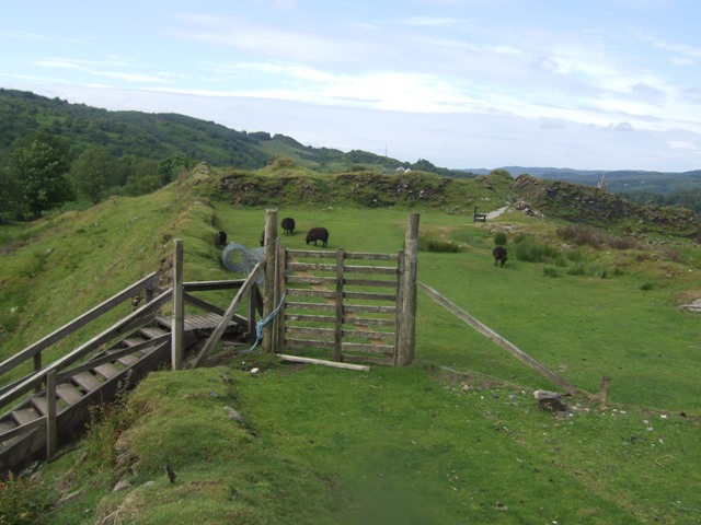
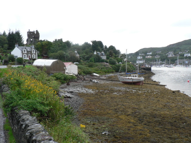
![]() This walk visits the photogenic ruins of the ancient Tarbert Castle. The 13th castle is located in a scenic location on a hill top on the southern shore of East Loch Tarbert, an inlet of Loch Fyne in Argyll.
This walk visits the photogenic ruins of the ancient Tarbert Castle. The 13th castle is located in a scenic location on a hill top on the southern shore of East Loch Tarbert, an inlet of Loch Fyne in Argyll.
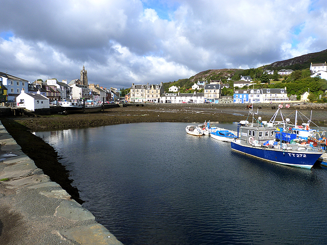
From the elevated position of the castle there are wonderful views over the town and the harbour.
Other features include a pleasant community woodland with a wildlife pool, seats and picnic tables. There is also a sculpture walk with pieces reflecting the natural, historical, and cultural heritage of the area.
The walk uses a section of the Kintyre Way. This long distance walking trail is a great way to extend your exercise. Following the waymarked trail south will take you to Skipness. You could also head east of the loch to pick up the Sruth Ban Falls Walk.
Postcode
PA29 6UD - Please note: Postcode may be approximate for some rural locationsPlease click here for more information
Tarbert Castle Ordnance Survey Map  - view and print off detailed OS map
Tarbert Castle Open Street Map  - view and print off detailed map
*New* - Walks and Cycle Routes Near Me Map - Waymarked Routes and Mountain Bike Trails>>
Tarbert Castle OS Map  - Mobile GPS OS Map with Location tracking
Tarbert Castle Open Street Map  - Mobile GPS Map with Location tracking
Further Information and Other Local Ideas
Castle History:
The initial stone structure on this site can be traced back to the 13th century, with the possibility of it being even older.
This fortification played a strategic role, overseeing the anchorage in the bay below and managing the land connection between the East and West Lochs of Tarbert.
By 1292, the castle had achieved the status of a Royal Castle, as it was among the properties granted to John Balliol by Edward I of England. Later, in 1325, Robert the Bruce significantly expanded and strengthened the castle. He constructed a comprehensive curtain wall and drum towers, which enclosed an area of nearly two acres.
Historical records of building accounts detail various structures within the castle complex. These include a hall, a chapel, residential houses, workshops, and a brewhouse. Additionally, located outside the wall were a mill and a mill lade, essential for the castle's self-sufficiency.


