Tarr Steps Walk
![]()
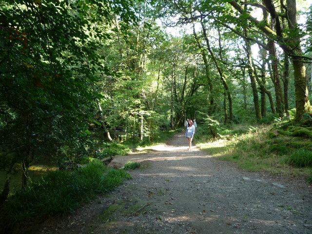
![]() This circular walk visits the famous Tarr Steps before a lovely riverside stroll along the River Barle in the Exmoor National Park. It's a popular short walk with attractive woodland running alongside both sides of the fast flowing river.
This circular walk visits the famous Tarr Steps before a lovely riverside stroll along the River Barle in the Exmoor National Park. It's a popular short walk with attractive woodland running alongside both sides of the fast flowing river.
The old clapper bridge is a Scheduled Ancient Monument, dating from the medieval period. It forms part of the Tarr Steps Woodland National Nature Reserve which includes a wide range of interesting flora and fauna. For example, you can see plants including bluebell and honeysuckle in the spring and summer months. You can also look out for wildlife including red deer, dormice and otters as you make your way along the river.
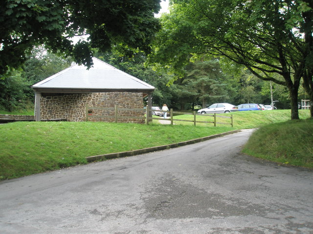
The walk starts from the car park just to the east of the bridge. From here it's a short walk to the bridge, which you can cross on foot. The route follows footpaths on both sides of the river, crossing a little footbridge at Great Bradley after about 2 miles. After your walk you can enjoy refreshments at the excellent Tarr Farm Inn, which has great views over the bridge.
The route uses a section of the Two Moors Way long distance trail. As such it's easy to extend your walk by contuining north along the river to Withypool if you have time. Here you can follow trails to Landacre Bridge which is another fine scheduled ancient monument of the area.
The Exe Valley Way also passes the site. You could pick it up and follow it south east along the Barle to Dulverton. Both Withypool and Dulverton are also alternative start points if you would like a longer, more challenging hike to the steps.
Also of interest is Winsford Hill, just to the north east of the site. It's a lovely spot for a picnic with a car park, large areas of grassland, wonderful views and lots of Exmoor Ponies to look out for.
Postcode
TA22 9PY - Please note: Postcode may be approximate for some rural locationsTarr Steps Ordnance Survey Map  - view and print off detailed OS map
Tarr Steps Open Street Map  - view and print off detailed map
*New* - Walks and Cycle Routes Near Me Map - Waymarked Routes and Mountain Bike Trails>>
Tarr Steps OS Map  - Mobile GPS OS Map with Location tracking
Tarr Steps Open Street Map  - Mobile GPS Map with Location tracking
Pubs/Cafes
Tarr Steps Farm is a popular choice for walkers looking to refresh themselves after their exercise. The 16th-century riverside inn is located near Liscombe at postcode TA22 9PY. There's outdoor seating with lovely views and a great menu.
A few miles to the east you could try the excellent George Inn in Brompton Regis near Wimbleball Lake which also has a fine circular walk to try. The quintessential Exmoor pub includes a lovely garden area, which has beautiful views over Exmoor hills.
Dog Walking
The area is very popular with dog walkers so you will probably see a few others on your outing. Tarr Steps Farm pub is very dog friendly and a great place to relax after the walk.
Further Information and Other Local Ideas
A few miles to the east there's a great viewpoint at Haddon Hill. The hill lies just to the south of Wimbleball Lake providing great views over the water to Dartmoor beyond.
For more walking ideas in the area see the Exmoor Walks page.


