Circular Walk from Thixendale to Wharram Percy
![]()
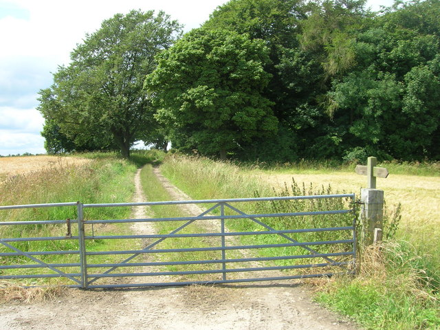
![]() This circular walk explores the lovely Yorkshire Wolds countryside surrounding the little village of Thixendale in Ryedale. You'll enjoy some beautiful rolling countryside and also pay a visit to the fascinating medieval village of Wharram Percy. The 8 mile walk makes use of the Yorkshire Wolds Way and the Centenary Way, two waymarked trails which run through the area. It includes a few moderate climbs so a reasonable level of fitness is required.
This circular walk explores the lovely Yorkshire Wolds countryside surrounding the little village of Thixendale in Ryedale. You'll enjoy some beautiful rolling countryside and also pay a visit to the fascinating medieval village of Wharram Percy. The 8 mile walk makes use of the Yorkshire Wolds Way and the Centenary Way, two waymarked trails which run through the area. It includes a few moderate climbs so a reasonable level of fitness is required.
Start the walk from Thixendale and follow the Wolds Way, north east through Cow Wold. You then turn east and head towards the beautiful Deep Dale and Wharram Percy Wold. Here you will find the deserted village which includes a ruined church and a mill pond with the layout of the other buildings visible in the surrounding fields.
The route loops around the site before picking up the Centenary Way toward the pretty Fairy Dale and the Fairy Stones.
Here you turn west, passing Raisthorpe Wold before heading south through the delighful scenery of Court Dale and Water Dale to return to Thixendale. Here you can enjoy refreshments at the Cross Keys pub, which is a regular winner of the local CAMRA (Campaign for Real Ale) awards.
To continue your walking in the area, you could follow the Wolds Way south through Thixen Dale to the nearby village of Fridaythorpe.
Postcode
YO17 9TG - Please note: Postcode may be approximate for some rural locationsThixendale Ordnance Survey Map  - view and print off detailed OS map
Thixendale Open Street Map  - view and print off detailed map
*New* - Walks and Cycle Routes Near Me Map - Waymarked Routes and Mountain Bike Trails>>
Thixendale OS Map  - Mobile GPS OS Map with Location tracking
Thixendale Open Street Map  - Mobile GPS Map with Location tracking
Further Information and Other Local Ideas
The villages of Huggate and Fridaythorope are located nearby. The circular Huggate Walk visits both villages and explores the attractive Huggate Wold. You can pick up the trail just to the south of Thixendale.
For more walks in the area see the Yorkshire Wolds Walks page.


